
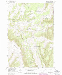
1964 Map of Big Ice Cave
USGS Topo · Published 1967About this map
The Pryor Mountains define this high-altitude terrain along the border of the Crow Indian Reservation. This mid-1960s survey illustrates a rugged landscape of limestone features and deep canyons within the Custer National Forest, where unique geological formations like Big Ice Cave and Crater Ice Cave provide year-round frozen environments. The area is marked by a network of jeep trails connecting isolated family holdings such as the Greenough Ranch and Schwend Ranch.
Find a feature on this map
44 named features on this map. Tap any name to fly to it.
Don’t see what you’re looking for? This feature index may not catch every label — zoom into the map to look around manually.
Map Details
Editions of this 1964 Big Ice Cave Map
2 editions found
Other maps of this area

1954 · Billings
USGS Topo · 1:250,000

1957 · Billings
USGS Topo · 1:250,000

1958 · Billings
USGS Topo · 1:250,000

1964 · Red Pryor Mountain
USGS Topo · 1:24,000

1964 · East Pryor Mountain
USGS Topo · 1:24,000
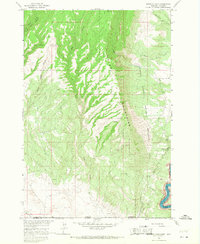
1964 · Mystery Cave
USGS Topo · 1:24,000

1967 · Deep Creek SE
USGS Topo · 1:24,000

1967 · Castle Rocks
USGS Topo · 1:24,000

1967 · Deep Creek SW
USGS Topo · 1:24,000
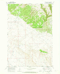
1969 · Bear Canyon
USGS Topo · 1:24,000