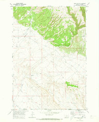
1969 Map of Bear Canyon
USGS Topo · Published 1973About this map
Custer National Forest defines the northern reaches of this borderland terrain, where the slopes of Burnt Ridge give way to a network of drainage canyons. This 1969 field-checked survey highlights the transition from the forested heights near King Canyon and Piney Creek to the more arid basins to the south. The landscape is marked by a persistent search for resources, evidenced by numerous Prospects and Drill Holes scattered across the quadrangle. Water management is a central theme in this environment, seen through the Sage Canal and various named water sources like Mc Kown Well and the aptly named Hard Luck Well. The presence of a Pipeline and multiple Gravel Pits suggests an era of industrial utility and infrastructure development along the Montana Wyoming state line, where Cottonwood Coulee meets the lower flats.
Find a feature on this map
21 named features on this map. Tap any name to fly to it.
Don’t see what you’re looking for? This feature index may not catch every label — zoom into the map to look around manually.
Map Details
Editions of this 1969 Bear Canyon Map
2 editions found
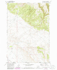
Other maps of this area

1954 · Billings
USGS Topo · 1:250,000

1955 · Cody
USGS Topo · 1:250,000

1957 · Billings
USGS Topo · 1:250,000

1958 · Billings
USGS Topo · 1:250,000

1958 · Cody
USGS Topo · 1:250,000

1962 · Cody
USGS Topo · 1:250,000

1964 · Big Ice Cave
USGS Topo · 1:24,000

1964 · Red Pryor Mountain
USGS Topo · 1:24,000

1966 · Frannie
USGS Topo · 1:24,000

1966 · Cowley
USGS Topo · 1:24,000