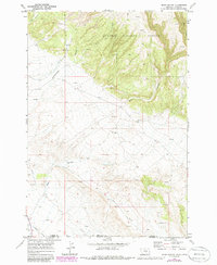
1969 Map of Bear Canyon
USGS Topo · Published 1986About this map
Custer National Forest anchors this borderland landscape, where the high ridges of southern Montana drop toward the Wyoming line. The terrain is defined by dramatic erosional features like Bear Canyon and King Canyon, which cut through a complex network of dry coulees and seasonal drainages such as Cottonwood Creek and Piney Creek. Human presence here is tied largely to the livestock and resource extraction industries of the late 1960s, evidenced by the Stockman Trail and numerous scattered Prospects.
Find a feature on this map
25 named features on this map. Tap any name to fly to it.
Don’t see what you’re looking for? This feature index may not catch every label — zoom into the map to look around manually.
Map Details
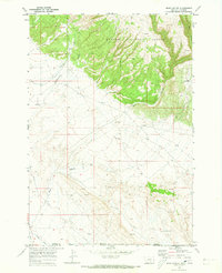
Editions of this 1969 Bear Canyon Map
2 editions found
Other maps of this area

1954 · Billings
USGS Topo · 1:250,000

1955 · Cody
USGS Topo · 1:250,000

1957 · Billings
USGS Topo · 1:250,000

1958 · Billings
USGS Topo · 1:250,000

1958 · Cody
USGS Topo · 1:250,000

1962 · Cody
USGS Topo · 1:250,000

1964 · Big Ice Cave
USGS Topo · 1:24,000

1964 · Red Pryor Mountain
USGS Topo · 1:24,000

1966 · Frannie
USGS Topo · 1:24,000

1966 · Cowley
USGS Topo · 1:24,000