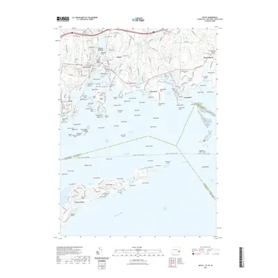
2021 Map of Mystic
USGS Topo · Published 2021About this map
Mystic Seaport anchors this maritime landscape, where the Mystic River flows past the Mystic Bascule Bridge into a dense network of harbors and coves. The coastline is defined by historical settlements including Noank, West Mystic, and Stonington, each shaped by its relationship to Long Island Sound and Fishers Island Sound. Genealogists will find a high concentration of burial sites, from the coastal Wequetequock Burying Grounds to the Denison Burial Ground near Murphy Point. To the south, Fishers Island sits across the water, separated by the Intracoastal Waterway and ferry routes. The transportation infrastructure of the 21st century is evident in the Amtrak rail line crossing the estuaries and the Stonington Airpark situated near Wequetequock Cove, while numerous reefs and islands like Enders Island and Ram Island speak to the area's nautical hazards and heritage.
Find a feature on this map
179 named features on this map. Tap any name to fly to it.
Don’t see what you’re looking for? This feature index may not catch every label — zoom into the map to look around manually.
Map Details
Editions of this 2021 Mystic Map
This is the sole edition of this map. No revisions or reprints were ever made.
Other maps of this area

1889 · Stonington
USGS Topo · 1:62,500

1892 · New London
USGS Topo · 1:62,500

1893 · Stonington
USGS Topo · 1:62,500

1893 · New London
USGS Topo · 1:62,500

1903 · Gardiners Island
USGS Topo · 1:62,500

1904 · Gardiners Island
USGS Topo · 1:62,500

1904 · Montauk
USGS Topo · 1:62,500

1921 · Gardiners Island
USGS Topo · 1:62,500

1921 · New London
USGS Topo · 1:62,500

1921 · Stonington
USGS Topo · 1:62,500