Loading...
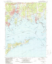
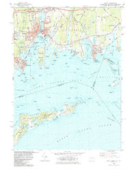
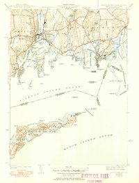
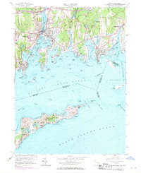
Loading map...1984 Map of Mystic
USGS Topo · Published 1987About this map
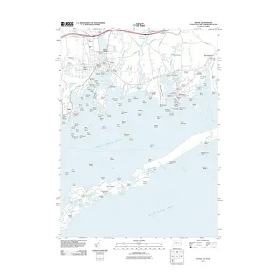
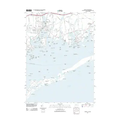
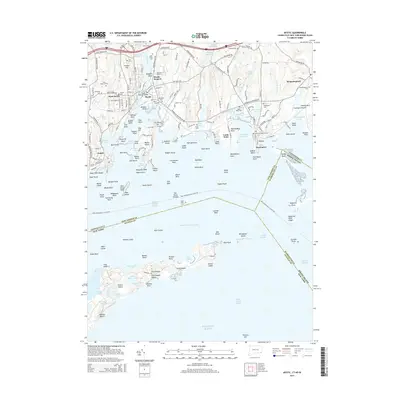
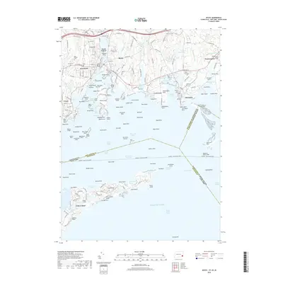
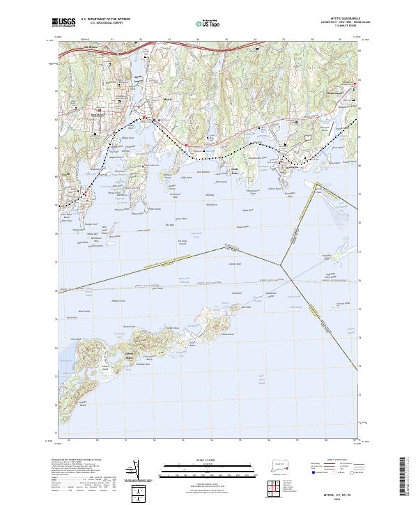
Mystic and its neighboring coastal settlements are captured here in the mid-1980s, revealing a landscape defined by its deep ties to the sea. The iconic Mystic Seaport and the nearby Marine Life Aquarium highlight the area's transition into a center for maritime heritage and education. The map illustrates the complex geography of Mystic Harbor, where the Mystic River meets the sound, flanked by prominent landforms like Mason Island and Wamphassuc Neck.
Find a feature on this map
84 named features on this map. Tap any name to fly to it.
Don’t see what you’re looking for? This feature index may not catch every label — zoom into the map to look around manually.
Map Details
Date Portrayed1984
Date Published1987
PublisherU.S. Geological Survey
Map TypeTopographic
Scale1:24,000
Physical Dimensions21.9 x 26.7 inches
Editions of this 1984 Mystic Map
2 editions found
Historical Maps of Groton Through Time
9 maps found
Featured Locations
Source Details
SourceU.S. Geological Survey
CopyrightPublic Domain