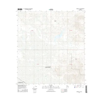
2016 Map of Nabesna C-6 NE
USGS Topo · Published 2016About this map
Mentasta Mountains and the Alaska Range dominate this interior Alaskan landscape, where glacial waters and high-altitude terrain define the wilderness character. The map illustrates a critical conservation boundary between Wrangell-Saint Elias National Preserve and Wrangell-Saint Elias National Park. In the lower southwest corner, the Nabesna Road provides the only significant land access to this remote region. Hydrological patterns are centered on Suslota Lake and the drainage of Suslota Cr, which flows through the eastern valleys. This 2016 survey documents the vast wetland and mountainous intersection where Natal Cr meanders through the foothills of the high peaks, marking a transition between protected parkland and the surrounding preserve.
Find a feature on this map
12 named features on this map. Tap any name to fly to it.
Don’t see what you’re looking for? This feature index may not catch every label — zoom into the map to look around manually.
Map Details
Editions of this 2016 Nabesna C-6 NE Map
This is the sole edition of this map. No revisions or reprints were ever made.
Other maps of this area

1948 · Nabesna C-6
USGS Topo · 1:63,360

1948 · Nabesna D-5
USGS Topo · 1:63,360

1949 · Nabesna D-6
USGS Topo · 1:63,360

1950 · Nabesna
USGS Topo · 1:250,000

1950 · Nabesna D-5
USGS Topo · 1:63,360

1951 · Nabesna
USGS Topo · 1:250,000

1952 · Nabesna C-6
USGS Topo · 1:63,360

1952 · Nabesna D-5
USGS Topo · 1:63,360

1952 · Nabesna D-6
USGS Topo · 1:63,360

1957 · Nabesna C-5
USGS Topo · 1:63,360