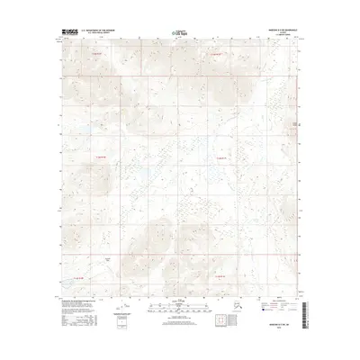
2016 Map of Nabesna D-5 SW
USGS Topo · Published 2016About this map
Alaska Range peaks dominate the northern and southern edges of this remote interior landscape, creating a high-elevation corridor defined by dramatic relief. Central to this topography is Suslota Pass, a natural crossing point that funnels drainage between mountain ridges. To the north, the headwaters of the Little Tok River wind through an intricate network of wetlands and smaller tributaries including Buck Cr. The southern portion of the sheet is marked by the descent of Suslota Cr, which flows away from the pass through steep-sided valleys. The drainage patterns here reveal a classic glacial and alpine watershed, where the high ridges of the Alaska Range dictate the flow of water and the likely paths of traditional travel through the interior.
Find a feature on this map
11 named features on this map. Tap any name to fly to it.
Don’t see what you’re looking for? This feature index may not catch every label — zoom into the map to look around manually.
Map Details
Editions of this 2016 Nabesna D-5 SW Map
This is the sole edition of this map. No revisions or reprints were ever made.
Other maps of this area

1948 · Nabesna C-6
USGS Topo · 1:63,360

1948 · Nabesna D-5
USGS Topo · 1:63,360

1949 · Nabesna D-6
USGS Topo · 1:63,360

1950 · Nabesna
USGS Topo · 1:250,000

1950 · Nabesna D-5
USGS Topo · 1:63,360

1951 · Nabesna
USGS Topo · 1:250,000

1952 · Nabesna C-6
USGS Topo · 1:63,360

1952 · Nabesna D-5
USGS Topo · 1:63,360

1952 · Nabesna D-6
USGS Topo · 1:63,360

1957 · Nabesna C-5
USGS Topo · 1:63,360