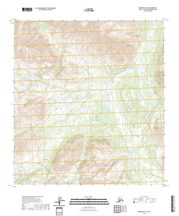
2023 Map of Nabesna D-5 SW
USGS Topo · Published 2023About this map
The Mentasta Mountains and the eastern edge of the Alaska Range dominate this interior landscape within the Copper River Census Area. The terrain is defined by high-elevation peaks and strategic natural corridors, most notably Suslota Pass, which provides a crossing between the highlands south of Tebay Mtn and the river valleys to the north. Drainage patterns are established by the Little Tok River, which winds through the eastern sections of the map, fed by smaller tributaries like Buck Creek. Evidence of human passage through this wilderness is sparse, marked primarily by the Bear Valley Trl as it navigates the western slopes. The land is largely undeveloped, with Suslota Creek flowing through the southwestern corner, illustrating the complex hydrography of the Alaskan interior at the start of the twenty-first century.
Find a feature on this map
14 named features on this map. Tap any name to fly to it.
Don’t see what you’re looking for? This feature index may not catch every label — zoom into the map to look around manually.
Map Details
Editions of this 2023 Nabesna D-5 SW Map
This is the sole edition of this map. No revisions or reprints were ever made.
Other maps of this area

1948 · Nabesna C-6
USGS Topo · 1:63,360

1948 · Nabesna D-5
USGS Topo · 1:63,360

1949 · Nabesna D-6
USGS Topo · 1:63,360

1950 · Nabesna
USGS Topo · 1:250,000

1950 · Nabesna D-5
USGS Topo · 1:63,360

1951 · Nabesna
USGS Topo · 1:250,000

1952 · Nabesna C-6
USGS Topo · 1:63,360

1952 · Nabesna D-5
USGS Topo · 1:63,360

1952 · Nabesna D-6
USGS Topo · 1:63,360

1957 · Nabesna C-5
USGS Topo · 1:63,360