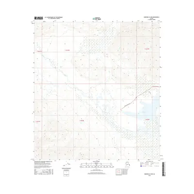
2016 Map of Nabesna D-6 NW
USGS Topo · Published 2016About this map
Mentasta Lake and the meandering Slana River dominate this interior landscape, illustrating a complex network of wetlands and seasonal drainages typical of the Copper River basin region. The terrain is defined by the confluence of several mountain-fed streams, including Bone Cr, Lost Cr, and Fish Cr, which navigate through a mosaic of marshy lowlands. Human activity is focused along the eastern edge, where the Mentasta Spur Road and Funk Road provide access to the lakeside area. This 2016 survey documents the contemporary extent of these glacial-fed water systems before they merge into the larger regional rivers. The map provides a detailed look at the hydrology of the unorganized borough, showing how the natural drainage patterns dictated the placement of the few established transportation corridors in this corner of the state.
Find a feature on this map
13 named features on this map. Tap any name to fly to it.
Don’t see what you’re looking for? This feature index may not catch every label — zoom into the map to look around manually.
Map Details
Editions of this 2016 Nabesna D-6 NW Map
This is the sole edition of this map. No revisions or reprints were ever made.
Other maps of this area

1948 · Tanacross A-6
USGS Topo · 1:63,360

1949 · Tanacross
USGS Topo · 1:250,000

1949 · Nabesna D-6
USGS Topo · 1:63,360

1949 · Mt. Hayes A-1
USGS Topo · 1:63,360

1950 · Tanacross
USGS Topo · 1:250,000

1950 · Nabesna
USGS Topo · 1:250,000

1950 · Mount Hayes
USGS Topo · 1:250,000

1951 · Gulkana
USGS Topo · 1:250,000

1951 · Mount Hayes
USGS Topo · 1:250,000

1951 · Nabesna
USGS Topo · 1:250,000