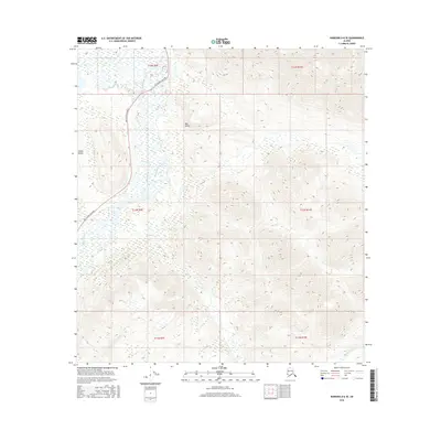
2016 Map of Nabesna D-6 SE
USGS Topo · Published 2016About this map
Tok Cutoff Highway provides the primary corridor through this landscape on the edge of the Alaska Range. The terrain is defined by the braided and winding path of the Slana River as it moves through a complex of wetlands including Slana Slough. Higher ground is found to the east in Bear Valley, where the elevation rises sharply away from the river basin. Several small drainage systems, such as Mabel Cr and Suslositna Cr, navigate the varying topography of the Unorganized Borough. This 2016 survey illustrates the intersection of a modern transportation artery with a dynamic subarctic river system, revealing the physical constraints placed on regional infrastructure by the local hydrography and mountain foothills.
Find a feature on this map
13 named features on this map. Tap any name to fly to it.
Don’t see what you’re looking for? This feature index may not catch every label — zoom into the map to look around manually.
Map Details
Editions of this 2016 Nabesna D-6 SE Map
This is the sole edition of this map. No revisions or reprints were ever made.
Other maps of this area

1948 · Nabesna C-6
USGS Topo · 1:63,360

1948 · Nabesna D-5
USGS Topo · 1:63,360

1949 · Nabesna D-6
USGS Topo · 1:63,360

1950 · Nabesna
USGS Topo · 1:250,000

1950 · Nabesna D-5
USGS Topo · 1:63,360

1951 · Nabesna
USGS Topo · 1:250,000

1952 · Nabesna C-6
USGS Topo · 1:63,360

1952 · Nabesna D-5
USGS Topo · 1:63,360

1952 · Nabesna D-6
USGS Topo · 1:63,360

1957 · Nabesna C-5
USGS Topo · 1:63,360