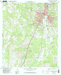
1983 Map of Nacogdoches South
USGS Topo · Published 1983About this map
Stephen F Austin State University and the southern reaches of Nacogdoches define this 1983 landscape, where the urban grid meets the winding bayous of East Texas. The Southern Pacific railroad corridor runs north-to-south, paralleling La Nana Bayou and anchoring the industrial and transit character of the district. The terrain is a mix of educational infrastructure and rural homestead history, evidenced by the numerous family and community burial grounds such as King Moore Cem, Wisner Cem, and the Old Union Cem.
Find a feature on this map
44 named features on this map. Tap any name to fly to it.
Don’t see what you’re looking for? This feature index may not catch every label — zoom into the map to look around manually.
Map Details
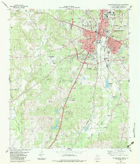
Editions of this 1983 Nacogdoches South Map
2 editions found
Other maps of this area

1949 · Lufkin
USGS Topo · 1:62,500

1949 · Platt
USGS Topo · 1:24,000

1949 · Clawson
USGS Topo · 1:24,000

1950 · Platt
USGS Topo · 1:24,000

1950 · Clawson
USGS Topo · 1:24,000

1950 · Redland
USGS Topo · 1:24,000

1952 · Douglass
USGS Topo · 1:62,500

1952 · Nacogdoches
USGS Topo · 1:62,500

1953 · Palestine
USGS Topo · 1:250,000

1957 · Palestine
USGS Topo · 1:250,000
Featured Places
- Nacogdoches, TX
- Hayward Junction, Nacogdoches
- Orton Hill, Nacogdoches
- Fredonia Hill, Nacogdoches
- Nacogdoches County, TX