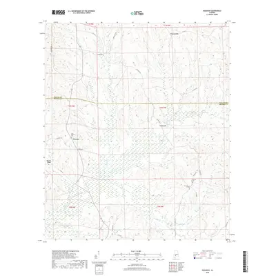
2018 Map of Nadawah
USGS Topo · Published 2018About this map
Nadawah and Chestnut anchor the central portion of this landscape at the boundary of Wilcox and Monroe counties. The terrain is defined by an intricate network of waterways, including Big Flat Cr, Dailey Cr, and Gulley Cr, which drain the timbered ridges and bottomlands. Small rural clusters like Watsonville to the north and Buena Vista in the west illustrate the dispersed settlement pattern characteristic of this region.
Find a feature on this map
35 named features on this map. Tap any name to fly to it.
Don’t see what you’re looking for? This feature index may not catch every label — zoom into the map to look around manually.
Map Details
Editions of this 2018 Nadawah Map
This is the sole edition of this map. No revisions or reprints were ever made.
Other maps of this area

1953 · Andalusia
USGS Topo · 1:250,000

1957 · Andalusia
USGS Topo · 1:250,000

1967 · Beatrice
USGS Topo · 1:24,000

1971 · Skinnerton
USGS Topo · 1:24,000

1971 · Beatrice
USGS Topo · 1:24,000

1972 · Natchez
USGS Topo · 1:24,000

1973 · Camden South
USGS Topo · 1:24,000

1973 · Vredenburgh
USGS Topo · 1:24,000
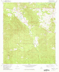
1981 · Rosebud
USGS Topo · 1:24,000
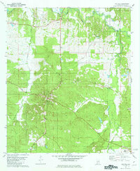
1981 · Oak Hill
USGS Topo · 1:24,000