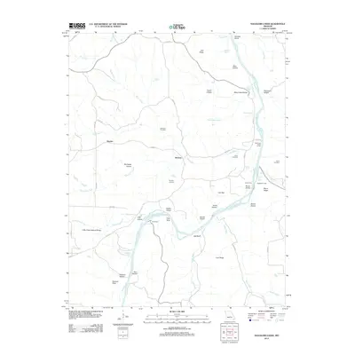
2012 Map of Nagogami Lodge
USGS Topo · Published 2012About this map
The Gasconade River winds through this portion of Maries County, carving a landscape defined by deep hollows and high ridges. Significant family and community history is anchored by the presence of the Fulkerson Cemetery, Ramsey Cemetery, and Honse Cemetery, which mark the generational ties of the local settlements at Hayden and Stickney. The map reveals a river-centric topography where historical crossing points like Gaines Ferry once facilitated movement before modern road networks dominated.
Find a feature on this map
67 named features on this map. Tap any name to fly to it.
Don’t see what you’re looking for? This feature index may not catch every label — zoom into the map to look around manually.
Map Details
Editions of this 2012 Nagogami Lodge Map
This is the sole edition of this map. No revisions or reprints were ever made.
Other maps of this area

1888 · Tuscumbia
USGS Topo · 1:125,000

1894 · Tuscumbia
USGS Topo · 1:125,000

1912 · Rolla
USGS Topo · 1:62,500

1936 · Waynesville
USGS Topo · 1:48,000

1937 · Vienna
USGS Topo · 1:62,500

1938 · Vienna
USGS Topo · 1:48,000

1942 · Waynesville
USGS Topo · 1:62,500

1944 · Waynesville
USGS Topo · 1:62,500

1947 · Jefferson City
USGS Topo · 1:250,000

1948 · Tavern
USGS Topo · 1:62,500