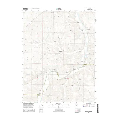
2015 Map of Nagogami Lodge
USGS Topo · Published 2015About this map
The Gasconade River winds through the heart of this landscape along the border of Maries and Phelps Counties, creating a deeply dissected terrain characterized by numerous hollows and springs. One of the most prominent natural landmarks is the Clifty Creek Natural Bridge near Clifty Spring, a geological feature that highlights the region's karst topography. Small rural settlements like Hayden and Stickney are connected by a network of county roads, while the eponymous Nagogami Lodge sits near the river's edge.
Find a feature on this map
73 named features on this map. Tap any name to fly to it.
Don’t see what you’re looking for? This feature index may not catch every label — zoom into the map to look around manually.
Map Details
Editions of this 2015 Nagogami Lodge Map
This is the sole edition of this map. No revisions or reprints were ever made.
Other maps of this area

1888 · Tuscumbia
USGS Topo · 1:125,000

1894 · Tuscumbia
USGS Topo · 1:125,000

1912 · Rolla
USGS Topo · 1:62,500

1936 · Waynesville
USGS Topo · 1:48,000

1937 · Vienna
USGS Topo · 1:62,500

1938 · Vienna
USGS Topo · 1:48,000

1942 · Waynesville
USGS Topo · 1:62,500

1944 · Waynesville
USGS Topo · 1:62,500

1947 · Jefferson City
USGS Topo · 1:250,000

1948 · Tavern
USGS Topo · 1:62,500