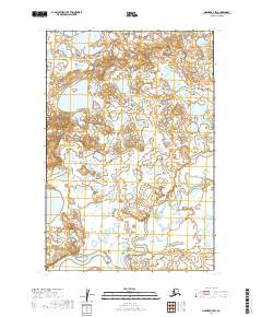
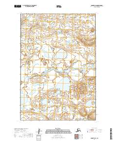
2019 Map of Naknek B-4 SW
USGS Topo · Published 2019About this map
King Salmon River meanders across this low-lying Alaskan landscape within the Lake and Peninsula Borough. The terrain is characterized by an intricate network of countless small lakes and ponds, typical of the Bristol Bay drainage basin. This area remains largely undeveloped, defined primarily by the hydrological patterns of the river system and its surrounding wetlands.
Find a feature on this map
5 named features on this map. Tap any name to fly to it.
Don’t see what you’re looking for? This feature index may not catch every label — zoom into the map to look around manually.
Map Details
Editions of this 2019 Naknek B-4 SW Map
This is the sole edition of this map. No revisions or reprints were ever made.
Other maps of this area

1951 · Naknek A-5
USGS Topo · 1:63,360

1951 · Naknek A-4
USGS Topo · 1:63,360

1952 · Naknek
USGS Topo · 1:250,000

1952 · Naknek B-4
USGS Topo · 1:63,360

1952 · Naknek B-5
USGS Topo · 1:63,360

1964 · Naknek
USGS Topo · 1:250,000
2019 · Naknek B-4 NW
USGS Topo · 1:25,000
2019 · Naknek B-5 NE
USGS Topo · 1:25,000
2019 · Naknek B-4 NE
USGS Topo · 1:25,000
2019 · Naknek B-4 SE
USGS Topo · 1:25,000