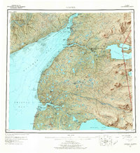
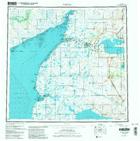
1952 Map of Naknek
USGS Topo · Published 1965About this map
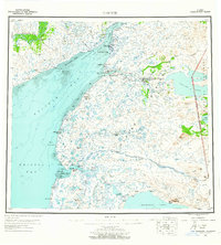
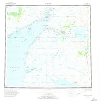
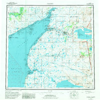
Naknek and South Naknek anchor the mouth of the Naknek River in this mid-century survey of the Alaska Peninsula. The landscape is dominated by the vast drainage systems of the Kvichak Bay and Bristol Bay, where the tidal flats and sand bars like Deadman Sands and Salmon Flats dictated the coastal navigation of the era. To the east, the boundary of Katmai National Monument encompasses Naknek Lake and Lake Brooks. A significant military presence is noted at King Salmon Air Force Base, which also served as the King Salmon PO. Remote settlements and seasonal locations like Koggiung, Libbyville, and Savonoski are linked by a rugged Winter Trail, reflecting the limited overland infrastructure of the early 1950s. The map also records vital navigational aids such as the Naknek Lt and Middle Bluff Light.
Find a feature on this map
51 named features on this map. Tap any name to fly to it.
Don’t see what you’re looking for? This feature index may not catch every label — zoom into the map to look around manually.
Map Details
Editions of this 1952 Naknek Map
10 editions found

Other maps of this area

1943 · Ugashik
USGS Topo · 1:250,000

1945 · Nushagak Bay
USGS Topo · 1:250,000

1948 · Mt Katmai
USGS Topo · 1:250,000

1948 · Ugashik
USGS Topo · 1:250,000

1949 · Ugashik
USGS Topo · 1:250,000

1949 · Nushagak Bay
USGS Topo · 1:250,000

1951 · Bristol Bay
USGS Topo · 1:250,000

1951 · Dillingham
USGS Topo · 1:250,000

1951 · Mt Katmai
USGS Topo · 1:250,000

1951 · Karluk
USGS Topo · 1:250,000