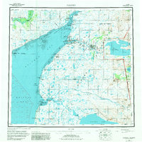
1952 Map of Naknek
USGS Topo · Published 1981About this map
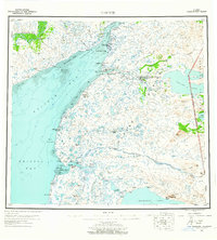
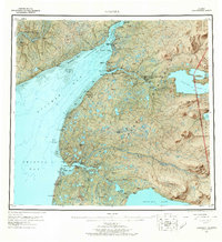
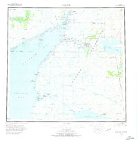
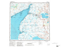
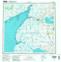
The Kvichak River system and the eastern shores of Kvichak Bay anchor this 1952 survey, illustrating the critical salmon fishing and canning infrastructure of the Bristol Bay region. The settlement of Naknek serves as a primary hub, supported by a network of nearby outposts including South Naknek, Libbyville, and Koggiung. The presence of numerous Cannery sites and landing areas throughout the region reflects the seasonal industrial pulse of the era, while the Mil Res and airport at King Salmon mark the strategic importance of the interior. To the east, the boundary of Katmai National Monument encompasses the vast waters of Naknek Lake and Lake Brooks. Further south along the coast, the isolated settlement of Egegik stands at the mouth of the Egegik River, positioned between Tidal Flat zones and Deadman Sands.
Find a feature on this map
64 named features on this map. Tap any name to fly to it.
Don’t see what you’re looking for? This feature index may not catch every label — zoom into the map to look around manually.
Map Details
Editions of this 1952 Naknek Map
10 editions found

Other maps of this area

1943 · Ugashik
USGS Topo · 1:250,000

1945 · Nushagak Bay
USGS Topo · 1:250,000

1948 · Mt Katmai
USGS Topo · 1:250,000

1948 · Ugashik
USGS Topo · 1:250,000

1949 · Ugashik
USGS Topo · 1:250,000

1949 · Nushagak Bay
USGS Topo · 1:250,000

1951 · Bristol Bay
USGS Topo · 1:250,000

1951 · Dillingham
USGS Topo · 1:250,000

1951 · Mt Katmai
USGS Topo · 1:250,000

1951 · Karluk
USGS Topo · 1:250,000