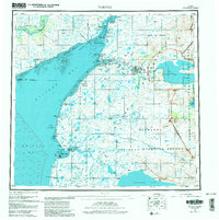
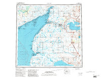
1952 Map of Naknek
USGS Topo · Published 1988About this map
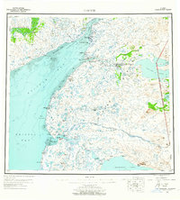
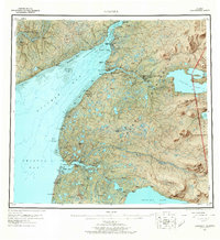
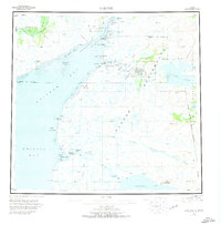
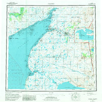
The Kvichak River and its massive tidal estuary define this mid-century look at the eastern shores of Kvichak Bay. The map records a landscape heavily reliant on water access and seasonal transport, featuring the Winter Trail leading south toward Egegik. Cannery culture and early aviation are evident at Naknek and South Naknek, while the King Salmon Mil Res underscores the strategic importance of the region following the war.
Find a feature on this map
56 named features on this map. Tap any name to fly to it.
Don’t see what you’re looking for? This feature index may not catch every label — zoom into the map to look around manually.
Map Details
Editions of this 1952 Naknek Map
10 editions found

Other maps of this area

1943 · Ugashik
USGS Topo · 1:250,000

1945 · Nushagak Bay
USGS Topo · 1:250,000

1948 · Mt Katmai
USGS Topo · 1:250,000

1948 · Ugashik
USGS Topo · 1:250,000

1949 · Ugashik
USGS Topo · 1:250,000

1949 · Nushagak Bay
USGS Topo · 1:250,000

1951 · Bristol Bay
USGS Topo · 1:250,000

1951 · Dillingham
USGS Topo · 1:250,000

1951 · Mt Katmai
USGS Topo · 1:250,000

1951 · Karluk
USGS Topo · 1:250,000