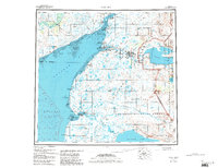
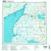
1952 Map of Naknek
USGS Topo · Published 1988About this map
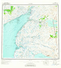
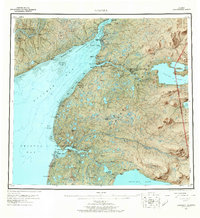
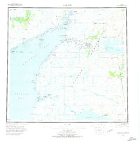
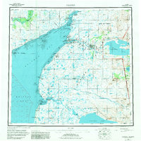
Salmon-rich waters and seasonal hubs define this mid-century portrait of the Bristol Bay region. The settlement of Naknek serves as a focal point at the mouth of the Naknek River, while King Salmon sits further inland, marking a critical transport junction near the boundaries of what is now Katmai National Park and Preserve. The landscape is a complex network of coastal features like Salmon Flats and Graveyard Pt, illustrating the tidal nature of Kvichak Bay.
Find a feature on this map
37 named features on this map. Tap any name to fly to it.
Don’t see what you’re looking for? This feature index may not catch every label — zoom into the map to look around manually.
Map Details
Editions of this 1952 Naknek Map
10 editions found

Other maps of this area

1943 · Ugashik
USGS Topo · 1:250,000

1945 · Nushagak Bay
USGS Topo · 1:250,000

1948 · Mt Katmai
USGS Topo · 1:250,000

1948 · Ugashik
USGS Topo · 1:250,000

1949 · Ugashik
USGS Topo · 1:250,000

1949 · Nushagak Bay
USGS Topo · 1:250,000

1951 · Bristol Bay
USGS Topo · 1:250,000

1951 · Dillingham
USGS Topo · 1:250,000

1951 · Mt Katmai
USGS Topo · 1:250,000

1951 · Karluk
USGS Topo · 1:250,000