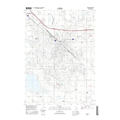
2017 Map of Nampa
USGS Topo · Published 2017About this map
Nampa and the southeastern edge of Caldwell anchor this modern survey of the Boise Valley, where urban expansion meets a complex web of agricultural irrigation. The landscape is defined by the Union Pacific rail corridor and major thoroughfares like Caldwell Blvd and Garrity Blvd, which connect historic downtown cores to newer developments. Outside the city centers, a dense network of man-made waterways such as the Phyllis Canal, Middle Lateral, and Mason Cr illustrates the area's deep-rooted reliance on managed water for the surrounding orchards and fields.
Find a feature on this map
71 named features on this map. Tap any name to fly to it.
Don’t see what you’re looking for? This feature index may not catch every label — zoom into the map to look around manually.
Map Details
Editions of this 2017 Nampa Map
This is the sole edition of this map. No revisions or reprints were ever made.
Other maps of this area

1892 · Boise
USGS Topo · 1:125,000

1892 · Bisuka
USGS Topo · 1:125,000

1892 · Silver City
USGS Topo · 1:125,000

1894 · Bisuka
USGS Topo · 1:125,000

1894 · Silver City
USGS Topo · 1:125,000

1897 · Boise
USGS Topo · 1:125,000

1898 · Nampa
USGS Topo · 1:125,000

1898 · Silver City
USGS Topo · 1:125,000

1953 · Meridian
USGS Topo · 1:24,000

1953 · Star
USGS Topo · 1:24,000