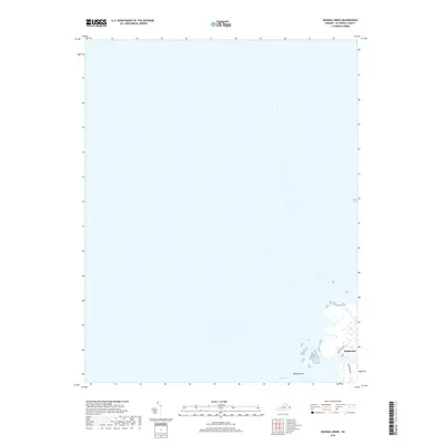
2019 Map of Nandua Creek
USGS Topo · Published 2019About this map
Hacksneck stands as a focal point of this coastal landscape on Virginia's Eastern Shore, situated where the land transitions into the tidal reaches of the Chesapeake Bay. This modern survey illustrates the intricate relationship between low-lying peninsulas and the water, centered around the land at Milbys Point. Local access is defined by a few primary routes including Hacksneck Rd and Back Creek Rd, which navigate the marshes and inlets of Hyslop Marsh. The map provides a detailed view of the shoreline and its associated wetlands, serving as a valuable document for understanding current drainage patterns and the specific geography of these waterfront properties in Accomack County.
Find a feature on this map
5 named features on this map. Tap any name to fly to it.
Don’t see what you’re looking for? This feature index may not catch every label — zoom into the map to look around manually.
Map Details
Editions of this 2019 Nandua Creek Map
This is the sole edition of this map. No revisions or reprints were ever made.
Other maps of this area

1903 · Crisfield
USGS Topo · 1:62,500

1917 · Ewell
USGS Topo · 1:62,500

1920 · Crisfield
USGS Topo · 1:62,500

1942 · Chesconessex
USGS Topo · 1:31,680

1942 · Nandua Creek
USGS Topo · 1:24,000

1942 · Tangier Island
USGS Topo · 1:24,000

1943 · Jamesville
USGS Topo · 1:31,680

1943 · Pungoteague
USGS Topo · 1:31,680
1943 · Tangier Island
USGS Topo · 1:31,680

1943 · Exmore
USGS Topo · 1:24,000