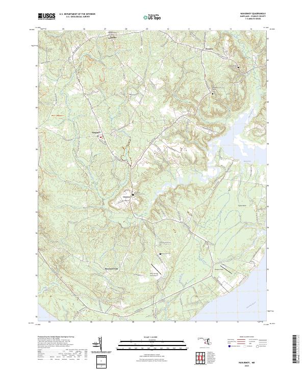
2023 Map of Nanjemoy
USGS Topo · Published 2023About this map
Maryland Point and the winding Potomac River shoreline define this Charles County landscape, where the tidal waters meet a interior of deep creeks and forested necks. The map documents the rural character of communities like Nanjemoy and Ironsides, which are connected by a network of historic routes including Port Tobacco Rd. Local history is deeply rooted in the churchyards of the region, specifically Saint Ignatius of Loyola Cem and the Christ Church Durham Parish Cem.
Find a feature on this map
85 named features on this map. Tap any name to fly to it.
Don’t see what you’re looking for? This feature index may not catch every label — zoom into the map to look around manually.
Map Details
Editions of this 2023 Nanjemoy Map
This is the sole edition of this map. No revisions or reprints were ever made.
Other maps of this area

1889 · Fredericksburg
USGS Topo · 1:125,000

1890 · Mt. Vernon
USGS Topo · 1:125,000

1891 · Mt. Vernon
USGS Topo · 1:125,000

1892 · Fredericksburg
USGS Topo · 1:125,000

1894 · Fredericksburg
USGS Topo · 1:125,000

1894 · Mt. Vernon
USGS Topo · 1:125,000

1897 · Mt. Vernon
USGS Topo · 1:125,000

1913 · Indian Head
USGS Topo · 1:62,500

1913 · Nanjemoy
USGS Topo · 1:62,500

1923 · Indian Head
USGS Topo · 1:48,000