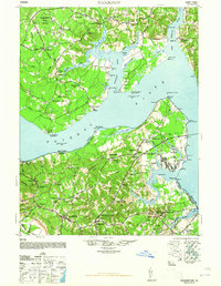
1948 Map of Nanjemoy
USGS Topo · Published 1948About this map
The Potomac River dominates this mid-century portrait of the borderlands between Southern Maryland and Northern Virginia. On the Maryland shore, the landscape is defined by the deep indentations of Nanjemoy Creek and the Avon River, while inland settlements like Ironsides, Hill Top, and Nanjemoy are linked by rural routes passing Doncaster State Forest. Significant institutional presence is noted at the Naval Proving Ground near Dahlgren, reflecting the era's military infrastructure.
Find a feature on this map
80 named features on this map. Tap any name to fly to it.
Don’t see what you’re looking for? This feature index may not catch every label — zoom into the map to look around manually.
Map Details
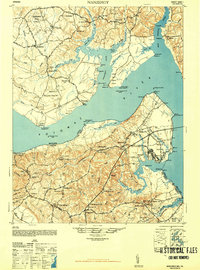
Editions of this 1948 Nanjemoy Map
2 editions found
Other maps of this area

1889 · Fredericksburg
USGS Topo · 1:125,000

1890 · Mt. Vernon
USGS Topo · 1:125,000

1891 · Mt. Vernon
USGS Topo · 1:125,000

1892 · Fredericksburg
USGS Topo · 1:125,000

1892 · Brandywine
USGS Topo · 1:62,500

1892 · Montross
USGS Topo · 1:62,500

1894 · Wicomico
USGS Topo · 1:62,500

1894 · Fredericksburg
USGS Topo · 1:125,000

1894 · Mt. Vernon
USGS Topo · 1:125,000

1895 · Wicomico
USGS Topo · 1:62,500