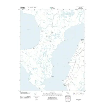
2011 Map of Nanticoke
USGS Topo · Published 2011About this map
Nanticoke and Bivalve anchor the eastern shore of the Nanticoke River in this 2011 survey of Wicomico County’s riverfront and the expansive marshlands of Dorchester County. The landscape is defined by the tidal interface of Fishing Bay and the river, where small settlements like Jesterville and Nanticoke Acres sit at the end of winding coastal roads. Maritime infrastructure remains central to the local economy and geography, evidenced by the Nanticoke Wharf and the proximity of numerous points such as Roaring Point and Ragged Point. Across the water to the west, the map details a complex network of wetlands and islands, including Poplar Island and Grays Island, accessible via the lonely stretch of Elliott Island Rd. This document provides a precise record of the shoreline and low-lying coastal communities before the further impacts of twentieth-century sea-level changes, capturing a region where life is dictated by the ebb and flow of the Chesapeake's tributaries.
Find a feature on this map
63 named features on this map. Tap any name to fly to it.
Don’t see what you’re looking for? This feature index may not catch every label — zoom into the map to look around manually.
Map Details
Editions of this 2011 Nanticoke Map
This is the sole edition of this map. No revisions or reprints were ever made.
Other maps of this area

1898 · St. Marys
USGS Topo · 1:125,000

1903 · Nanticoke
USGS Topo · 1:62,500

1903 · Bloodsworth Island
USGS Topo · 1:62,500

1903 · Deal Island
USGS Topo · 1:62,500

1905 · Crapo
USGS Topo · 1:62,500

1906 · St. Marys
USGS Topo · 1:125,000

1942 · Bloodsworth Island
USGS Topo · 1:24,000

1942 · Deal Island
USGS Topo · 1:24,000

1942 · Monie
USGS Topo · 1:24,000

1942 · Wetipquin
USGS Topo · 1:24,000