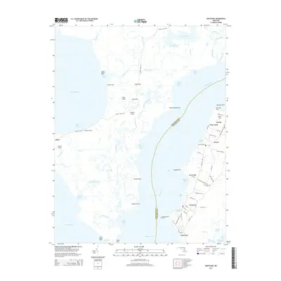
2014 Map of Nanticoke
USGS Topo · Published 2014About this map
The Nanticoke River flows into the Chesapeake Bay, shaping a maritime landscape defined by tidal creeks and marshlands in the early 21st century. Along the eastern shore, the communities of Nanticoke, Bivalve, and Tyaskin represent long-standing hubs of coastal life, where the local economy remains tied to the water at Bivalve Harbor. The map reveals a dense network of local roads such as Oak Grove Church Rd and Jesterville Rd that connect family-settled points like Jesterville and Waterview.
Find a feature on this map
90 named features on this map. Tap any name to fly to it.
Don’t see what you’re looking for? This feature index may not catch every label — zoom into the map to look around manually.
Map Details
Editions of this 2014 Nanticoke Map
This is the sole edition of this map. No revisions or reprints were ever made.
Other maps of this area

1898 · St. Marys
USGS Topo · 1:125,000

1903 · Nanticoke
USGS Topo · 1:62,500

1903 · Bloodsworth Island
USGS Topo · 1:62,500

1903 · Deal Island
USGS Topo · 1:62,500

1905 · Crapo
USGS Topo · 1:62,500

1906 · St. Marys
USGS Topo · 1:125,000

1942 · Bloodsworth Island
USGS Topo · 1:24,000

1942 · Deal Island
USGS Topo · 1:24,000

1942 · Monie
USGS Topo · 1:24,000

1942 · Wetipquin
USGS Topo · 1:24,000