Loading...
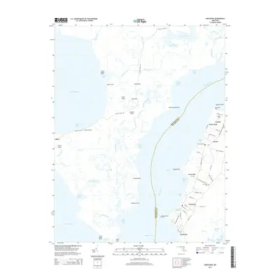
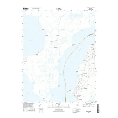
Loading map...2023 Map of Nanticoke
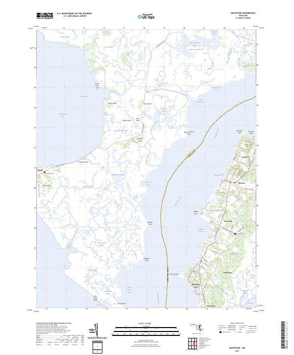
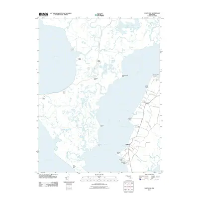
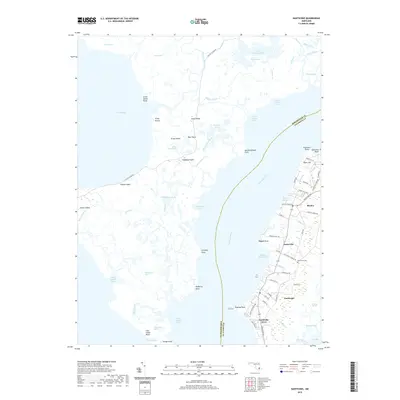
USGS Topo · Published 2023About this map
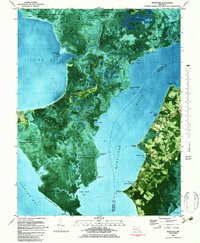
Nanticoke River defines the landscape of this coastal survey, separating the marshes of Dorchester County from the settlements of Wicomico County. To the east, a cluster of historic water-oriented communities including Nanticoke, Bivalve, Tyaskin, and Jesterville sit along the riverbanks, connected by local roads like Nanticoke Rd. This side of the river features higher ground such as Ryles Hill and concentrated residential areas like Nanticoke Acres and Waterview.
Find a feature on this map
90 named features on this map. Tap any name to fly to it.
Don’t see what you’re looking for? This feature index may not catch every label — zoom into the map to look around manually.
Map Details
Date Portrayed2023
Date Published2023
PublisherU.S. Geological Survey
Map TypeTopographic
Scale1:24,000
Physical Dimensions24 x 29 inches
Editions of this 2023 Nanticoke Map
This is the sole edition of this map. No revisions or reprints were ever made.
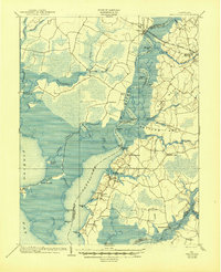
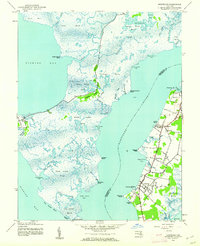
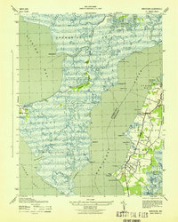
Historical Maps of Nanticoke Acres Through Time
9 maps found
Featured Locations
Source Details
SourceU.S. Geological Survey
CopyrightPublic Domain