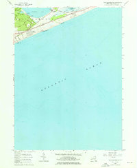
1956 Map of Napeague Beach
USGS Topo · Published 1976About this map
Promised Land sits at the northern edge of this narrow coastal strip, reflecting the mid-century landscape of eastern Long Island. The area is defined by the thin stretch of land between Napeague Bay and the Atlantic Ocean, where the Long Island Montauk Branch railroad runs parallel to the shoreline. Small settlements like Devon and Beach Hampton are nestled near the dunes and marshes of Napeague Meadows, providing a look at local development before later conservation and expansion efforts reshaped the region.
Find a feature on this map
23 named features on this map. Tap any name to fly to it.
Don’t see what you’re looking for? This feature index may not catch every label — zoom into the map to look around manually.
Map Details
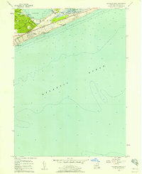
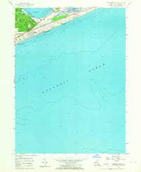
Editions of this 1956 Napeague Beach Map
3 editions found
Other maps of this area

1903 · Gardiners Island
USGS Topo · 1:62,500

1904 · Easthampton
USGS Topo · 1:62,500

1904 · Gardiners Island
USGS Topo · 1:62,500

1904 · Montauk
USGS Topo · 1:62,500

1921 · Gardiners Island
USGS Topo · 1:62,500

1921 · Easthampton
USGS Topo · 1:62,500
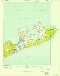
1942 · Montauk Point
USGS Topo · 1:24,000

1942 · Block Island
USGS Topo · 1:125,000

1943 · Gardiners Island East
USGS Topo · 1:24,000

1944 · Gardiners Island West
USGS Topo · 1:24,000
Featured Places
- East Hampton, NY
- Montauk, East Hampton
- Amagansett, East Hampton
- Napeague, East Hampton
- Devon, Amagansett