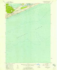
1956 Map of Napeague Beach
USGS Topo · Published 1956About this map
Promised Land and the surrounding fishing and industrial infrastructure anchor the coastline of this mid-century Long Island survey. The map details a narrow, salt-scrub landscape defined by the Long Island Railroad and Montauk Highway, which parallel the shore between the dunes of Napeague Beach and the protected waters of Napeague Harbor. The settlement of Devon and the nascent development at Beach Hampton illustrate the post-war transition toward seasonal recreation and residential expansion in the town of East Hampton.
Find a feature on this map
22 named features on this map. Tap any name to fly to it.
Don’t see what you’re looking for? This feature index may not catch every label — zoom into the map to look around manually.
Map Details
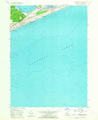
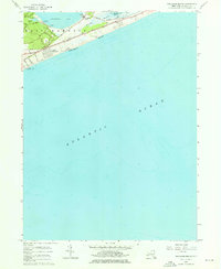
Editions of this 1956 Napeague Beach Map
3 editions found
Other maps of this area

1903 · Gardiners Island
USGS Topo · 1:62,500

1904 · Easthampton
USGS Topo · 1:62,500

1904 · Gardiners Island
USGS Topo · 1:62,500

1904 · Montauk
USGS Topo · 1:62,500

1921 · Gardiners Island
USGS Topo · 1:62,500

1921 · Easthampton
USGS Topo · 1:62,500
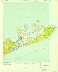
1942 · Montauk Point
USGS Topo · 1:24,000

1942 · Block Island
USGS Topo · 1:125,000

1943 · Gardiners Island East
USGS Topo · 1:24,000

1944 · Gardiners Island West
USGS Topo · 1:24,000
Featured Places
- East Hampton, NY
- Montauk, East Hampton
- Amagansett, East Hampton
- Napeague, East Hampton
- Devon, Amagansett