1958 Map of Nappanee East
USGS Topo · Published 1960About this map
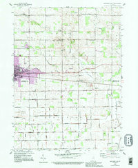
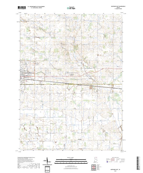
The town of Nappanee anchors the northwestern corner of this Indiana landscape, where the Baltimore and Ohio railroad corridor provides a primary east-west axis through the countryside. The survey shows the boundary between Elkhart and Kosciusko counties, an area characterized by a dense network of drainage canals such as Dausman Ditch, Fisher-Gordon Ditch, and Wisler Ditch that transformed the prairie into productive farmland. Small rural clusters and waypoints like Gravelton and Hastings appear alongside numerous community landmarks. For genealogists, the map is particularly detailed, identifying several country churches including Bethel Ch, Providence Ch, Union Grove Ch, and Island Chapel, as well as the Brumbaugh Cem and Island Cem. Local education is represented by the Township Sch and East Side Sch, reflecting the decentralized school system of the mid-20th century.
Find a feature on this map
43 named features on this map. Tap any name to fly to it.
Don’t see what you’re looking for? This feature index may not catch every label — zoom into the map to look around manually.
Map Details
Editions of this 1958 Nappanee East Map
2 editions found
Historical Maps of Nappanee Through Time
26 maps found
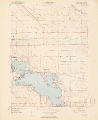
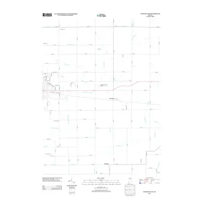
1951 Wawasee
Kosciusko County, IN
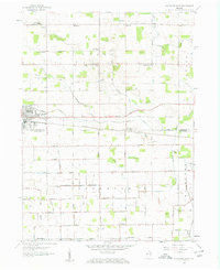
1958 Nappanee East
Kosciusko County, IN
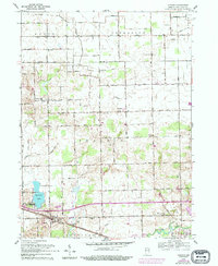
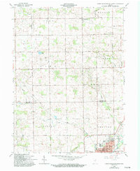
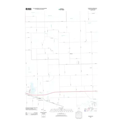
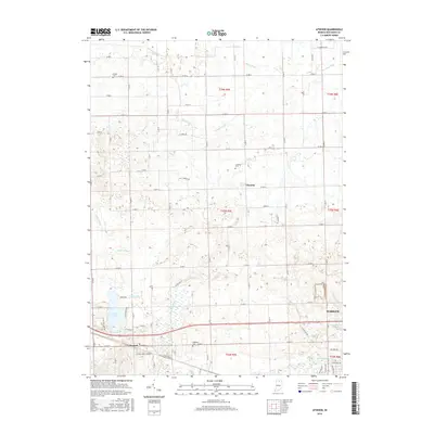
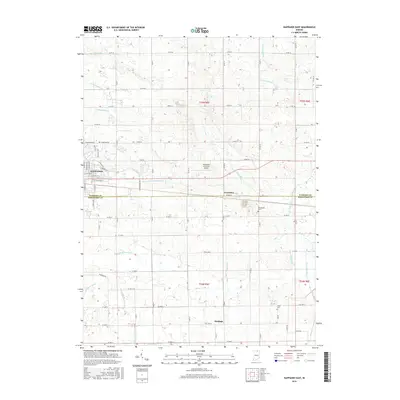
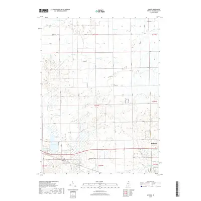
1959 Atwood
Kosciusko County, IN
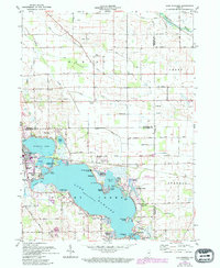
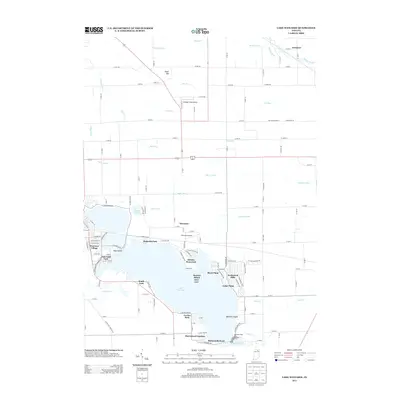
1961 Lake Wawasee
Kosciusko County, IN
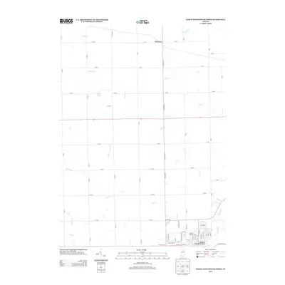
1962 North Manchester North
Kosciusko County, IN
1992 Nappanee East
Kosciusko County, IN
2010 Atwood
Kosciusko County, IN
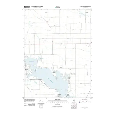
2010 Lake Wawasee
Kosciusko County, IN
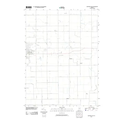
2010 Nappanee East
Kosciusko County, IN
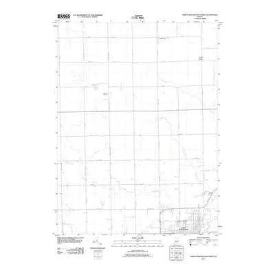
2010 North Manchester North
Kosciusko County, IN
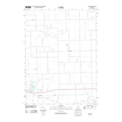
2013 Atwood
Kosciusko County, IN
2013 Lake Wawasee
Kosciusko County, IN
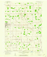
2013 Nappanee East
Kosciusko County, IN
2013 North Manchester North
Kosciusko County, IN
2016 Atwood
Kosciusko County, IN
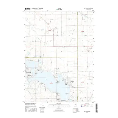
2016 Lake Wawasee
Kosciusko County, IN
2016 Nappanee East
Kosciusko County, IN
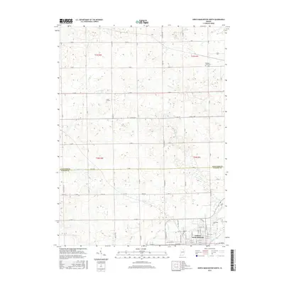
2016 North Manchester North
Kosciusko County, IN
2019 Atwood
Kosciusko County, IN
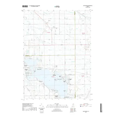
2019 Lake Wawasee
Kosciusko County, IN
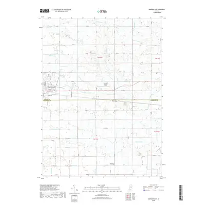
2019 Nappanee East
Kosciusko County, IN
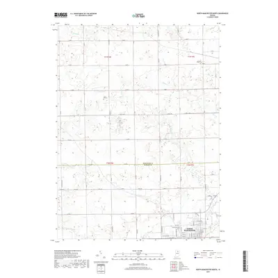
2019 North Manchester North
Kosciusko County, IN
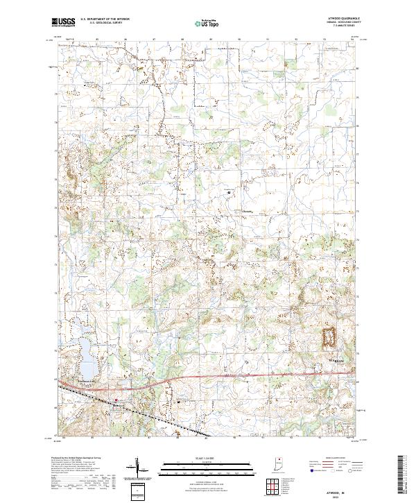
2022 Atwood
Kosciusko County, IN
2022 Lake Wawasee
Kosciusko County, IN
2022 Nappanee East
Kosciusko County, IN
2022 North Manchester North
Kosciusko County, IN