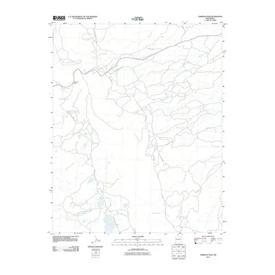
2011 Map of Narbona Pass
USGS Topo · Published 2011About this map
Narbona Pass serves as the central geographic feature of this high-elevation landscape in the Chuska Mountains region of New Mexico. The 2011 survey reveals an intricate network of tribal infrastructure, including Indian Service Route 32 and Indian Service Route 30, which facilitate movement across the arid terrain. Hydrological features are critical markers on this map, with several specific water sources such as Missionary Springs, Cottonwood Spring, and Owl Spring providing vital points of reference. To the south, Long Lake sits near the terminus of Long Lake Rd, while seasonal drainages like Naschitti Wash, Tuntsa Wash, and Bowl Canyon Creek define the watershed patterns of the area. This topographic record documents the intersection of modern road systems and the traditional natural spring sites that have long sustained life in the Shiprock Agency region.
Find a feature on this map
21 named features on this map. Tap any name to fly to it.
Don’t see what you’re looking for? This feature index may not catch every label — zoom into the map to look around manually.
Map Details
Editions of this 2011 Narbona Pass Map
This is the sole edition of this map. No revisions or reprints were ever made.
Other maps of this area

1886 · Wingate
USGS Topo · 1:250,000

1889 · Chaco
USGS Topo · 1:250,000

1892 · Wingate
USGS Topo · 1:250,000

1892 · Chaco
USGS Topo · 1:250,000

1954 · Shiprock
USGS Topo · 1:250,000

1954 · Gallup
USGS Topo · 1:250,000

1955 · Tohatchi
USGS Topo · 1:62,500

1958 · Gallup
USGS Topo · 1:250,000

1958 · Shiprock
USGS Topo · 1:250,000

1959 · Shiprock
USGS Topo · 1:250,000