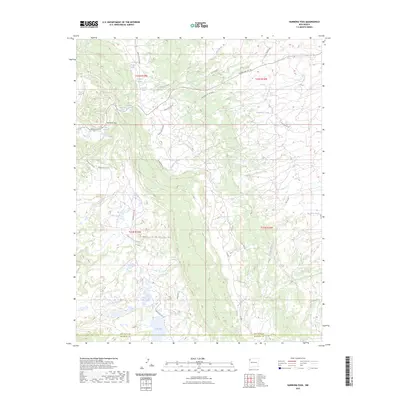
2023 Map of Narbona Pass
USGS Topo · Published 2023About this map
Narbona Pass sits as a vital geographic notch within the Chuska Mountains of the Navajo Nation, anchoring a landscape defined by its high-altitude water sources and complex drainage systems. This 2023 survey by the U.S. Geological Survey reveals a topography where numerous named springs, such as Missionary Springs, Cottonwood Spring, and Owl Spring, provide critical lifelines for the surrounding environment. The drainage pattern is marked by the westward flow of Crystal Creek and the eastward descent of Tuntsa Wash and Naschitti Wash, illustrating the continental divide-like nature of the range crest.
Find a feature on this map
38 named features on this map. Tap any name to fly to it.
Don’t see what you’re looking for? This feature index may not catch every label — zoom into the map to look around manually.
Map Details
Editions of this 2023 Narbona Pass Map
This is the sole edition of this map. No revisions or reprints were ever made.
Other maps of this area

1886 · Wingate
USGS Topo · 1:250,000

1889 · Chaco
USGS Topo · 1:250,000

1892 · Wingate
USGS Topo · 1:250,000

1892 · Chaco
USGS Topo · 1:250,000

1954 · Shiprock
USGS Topo · 1:250,000

1954 · Gallup
USGS Topo · 1:250,000

1955 · Tohatchi
USGS Topo · 1:62,500

1958 · Gallup
USGS Topo · 1:250,000

1958 · Shiprock
USGS Topo · 1:250,000

1959 · Shiprock
USGS Topo · 1:250,000