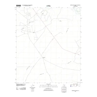
2010 Map of Narrow Bow Draw
USGS Topo · Published 2010About this map
South Orla Oil Field and the Regan Oil Field define the industrial footprint of this Reeves County landscape at the start of the 21st century. The map illustrates a region dominated by energy extraction and cattle ranching infrastructure, where a network of county roads like Co RD 432 and Co RD 232 provide access to remote installations. The hydrology of the area is characterized by ephemeral drainage systems including Fourmile Draw, Narrow Bow Draw, and Horsehead Draw, all trending toward the Pecos River in the northeast corner. This environment relies on landmarks like the Baumgardner Windmill and New Windmill for survival and operations, marking essential water points in a desert climate managed for oil production and grazing.
Find a feature on this map
12 named features on this map. Tap any name to fly to it.
Don’t see what you’re looking for? This feature index may not catch every label — zoom into the map to look around manually.
Map Details
Editions of this 2010 Narrow Bow Draw Map
This is the sole edition of this map. No revisions or reprints were ever made.
Other maps of this area

1931 · Orla
USGS Topo · 1:62,500

1954 · Pecos
USGS Topo · 1:250,000

1957 · Pecos
USGS Topo · 1:250,000

1961 · Anderson Ranch
USGS Topo · 1:24,000

1961 · Orla SE
USGS Topo · 1:24,000

1961 · Lindley Ranch
USGS Topo · 1:24,000

1961 · Narrow Bow Draw
USGS Topo · 1:24,000

1968 · Threemile Draw
USGS Topo · 1:24,000

1968 · Orla
USGS Topo · 1:24,000

1968 · W T Ranch
USGS Topo · 1:24,000