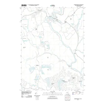
2010 Map of Narrowsburg
USGS Topo · Published 2010About this map
The Delaware River carves a sharp path between New York and Pennsylvania, anchoring a landscape defined by historic river hamlets and modern recreational developments. The community of Narrowsburg sits at the heart of this corridor, flanked by the older settlements of Darbytown and Lava. Local heritage is preserved in several burial grounds, including the Saint Francis Catholic Cemetery and the riverside Tusten Cemetery.
Find a feature on this map
83 named features on this map. Tap any name to fly to it.
Don’t see what you’re looking for? This feature index may not catch every label — zoom into the map to look around manually.
Map Details
Editions of this 2010 Narrowsburg Map
This is the sole edition of this map. No revisions or reprints were ever made.
Other maps of this area

1913 · Milford
USGS Topo · 1:62,500

1915 · Milford
USGS Topo · 1:62,500

1920 · Damascus
USGS Topo · 1:62,500

1922 · White Lake
USGS Topo · 1:62,500

1923 · Damascus
USGS Topo · 1:62,500

1935 · Hawley
USGS Topo · 1:62,500

1938 · Hawley
USGS Topo · 1:62,500

1942 · White Lake
USGS Topo · 1:62,500

1943 · Honesdale
USGS Topo · 1:125,000

1943 · White Lake
USGS Topo · 1:62,500
Featured Places
- Lackawaxen Township, PA
- Damascus Township, PA
- Tusten, NY
- Narrowsburg, Tusten
- Westcolang, Lackawaxen Township