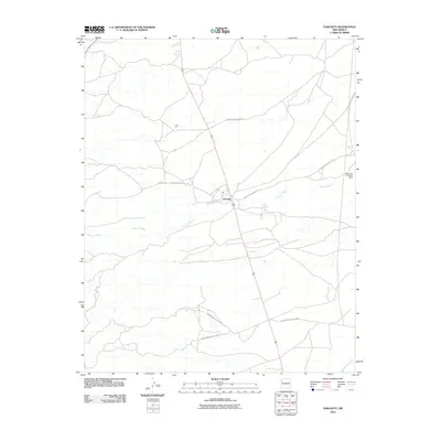
2010 Map of Naschitti
USGS Topo · Published 2010About this map
Naschitti serves as the central hub of this high-desert landscape within the Shiprock Agency region, where the intersection of several Bureau of Indian Affairs transportation arteries dictates the settlement pattern. The terrain is defined by a network of seasonal drainage systems, most notably the wide course of Naschitti Wash which bisects the quadrangle as it flows toward the east. To the north, Sheep Springs Wash carves through the arid landscape, while Salt Springs Wash appears in the southeastern corner.
Find a feature on this map
11 named features on this map. Tap any name to fly to it.
Don’t see what you’re looking for? This feature index may not catch every label — zoom into the map to look around manually.
Map Details
Editions of this 2010 Naschitti Map
This is the sole edition of this map. No revisions or reprints were ever made.
Other maps of this area

1886 · Wingate
USGS Topo · 1:250,000

1889 · Chaco
USGS Topo · 1:250,000

1892 · Wingate
USGS Topo · 1:250,000

1892 · Chaco
USGS Topo · 1:250,000

1954 · Shiprock
USGS Topo · 1:250,000

1954 · Gallup
USGS Topo · 1:250,000

1955 · Tohatchi
USGS Topo · 1:62,500

1958 · Gallup
USGS Topo · 1:250,000

1958 · Shiprock
USGS Topo · 1:250,000

1959 · Shiprock
USGS Topo · 1:250,000
Featured Places
- Shiprock Agency
- Fort Defiance Agency
- Naschitti, Fort Defiance Agency
- San Juan County, NM
- McKinley County, NM