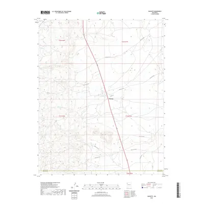
2020 Map of Naschitti
USGS Topo · Published 2020About this map
Naschitti serves as the primary hub of activity in this high-desert region of New Mexico, situated where the high country begins to break into complex drainage systems. The landscape is defined by the ephemeral flow of Naschitti Wash and the winding course of Tseunazti Cr, which together shape the local topography. The map reveals a specialized transportation network consisting of several Bureau of Indian Affairs routes, such as Indian Svc Rte 69 and Indian Svc Rte 692, which connect the scattered residences and pastoral lands of the Shiprock Agency.
Find a feature on this map
19 named features on this map. Tap any name to fly to it.
Don’t see what you’re looking for? This feature index may not catch every label — zoom into the map to look around manually.
Map Details
Editions of this 2020 Naschitti Map
This is the sole edition of this map. No revisions or reprints were ever made.
Other maps of this area

1886 · Wingate
USGS Topo · 1:250,000

1889 · Chaco
USGS Topo · 1:250,000

1892 · Wingate
USGS Topo · 1:250,000

1892 · Chaco
USGS Topo · 1:250,000

1954 · Shiprock
USGS Topo · 1:250,000

1954 · Gallup
USGS Topo · 1:250,000

1955 · Tohatchi
USGS Topo · 1:62,500

1958 · Gallup
USGS Topo · 1:250,000

1958 · Shiprock
USGS Topo · 1:250,000

1959 · Shiprock
USGS Topo · 1:250,000
Featured Places
- Shiprock Agency
- Fort Defiance Agency
- Naschitti, Fort Defiance Agency
- San Juan County, NM
- McKinley County, NM