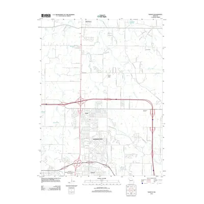
2012 Map of Nashua
USGS Topo · Published 2012About this map
Kansas City expands northward into the southern reaches of this landscape, where suburban residential networks meet the rural drainage of the Shoal Creek valley. Near the historical community of Nashua, the terrain is defined by the intersection of major highway corridors and the remnants of earlier agricultural settlement patterns. To the south, the Gashland area shows dense development, while moving north toward Smithville reveals a more open landscape punctuated by smaller water bodies like Bell Lake and Sampson Lake. The presence of the Woods School and the Resurrection Cemetery provides touchstones for local family history and the evolution of community infrastructure. Further east, the Smithville Reservoir and its associated tributaries, such as Crows Creek and Polecat Creek, illustrate the hydrologic management that has shaped the northern Clay County region.
Find a feature on this map
93 named features on this map. Tap any name to fly to it.
Don’t see what you’re looking for? This feature index may not catch every label — zoom into the map to look around manually.
Map Details
Editions of this 2012 Nashua Map
This is the sole edition of this map. No revisions or reprints were ever made.
Other maps of this area

1890 · Kansas City
USGS Topo · 1:125,000

1894 · Kansas City
USGS Topo · 1:125,000

1894 · Independence
USGS Topo · 1:125,000

1914 · Smithville
USGS Topo · 1:62,500

1935 · North Kansas City
USGS Topo · 1:24,000

1935 · Liberty
USGS Topo · 1:24,000

1936 · Kearney
USGS Topo · 1:48,000

1940 · Liberty
USGS Topo · 1:31,680
1940 · North Kansas City
USGS Topo · 1:31,680

1942 · Kearney
USGS Topo · 1:62,500