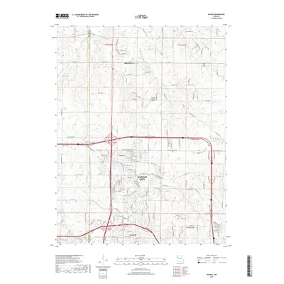
2017 Map of Nashua
USGS Topo · Published 2017About this map
Kansas City and its northern suburban reaches define this landscape at the Platte and Clay county line. The map highlights the transition from established neighborhoods like Gashland and Nashua to the more open spaces surrounding Smithville to the north. Water features are a primary characteristic of the region, with Shoal Creek, Second Creek, and First Creek carving through the terrain alongside man-made impoundments like Bell Lake, Sampson Lake, and Stevens Lake. Aviation history and utility are noted through small localized facilities such as the Dunham Private Airport and Rollert Farm Airport. The map also traces the modern road network, including NW Cookingham Drive and NW Old Stagecoach Road, while documenting community spaces like Resurrection Cemetery and the recreational complex at Hodge Park Ride.
Find a feature on this map
166 named features on this map. Tap any name to fly to it.
Don’t see what you’re looking for? This feature index may not catch every label — zoom into the map to look around manually.
Map Details
Editions of this 2017 Nashua Map
This is the sole edition of this map. No revisions or reprints were ever made.
Other maps of this area

1890 · Kansas City
USGS Topo · 1:125,000

1894 · Kansas City
USGS Topo · 1:125,000

1894 · Independence
USGS Topo · 1:125,000

1914 · Smithville
USGS Topo · 1:62,500

1935 · North Kansas City
USGS Topo · 1:24,000

1935 · Liberty
USGS Topo · 1:24,000

1936 · Kearney
USGS Topo · 1:48,000

1940 · Liberty
USGS Topo · 1:31,680
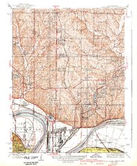
1940 · North Kansas City
USGS Topo · 1:31,680

1942 · Kearney
USGS Topo · 1:62,500