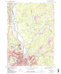
1968 Map of Nashua North
USGS Topo · Published 1985About this map
The Merrimack River serves as the central artery for this 1968 study, dividing the industrial landscape of Nashua from the developing residential and wooded areas of Hudson and Litchfield. In the southern half of the map, the urban density of Nashua is evident, anchored by institutions such as Mt St Marys Seminary and St Francis Xavier Academie. Transportation networks like the Boston and Maine railroad and the Everett Turnpike parallel the river, facilitating the movement that defined this era of New Hampshire's growth.
Find a feature on this map
80 named features on this map. Tap any name to fly to it.
Don’t see what you’re looking for? This feature index may not catch every label — zoom into the map to look around manually.
Map Details
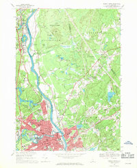
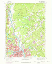
Editions of this 1968 Nashua North Map
Other maps of this area

1886 · Lowell
USGS Topo · 1:62,500

1893 · Lowell
USGS Topo · 1:62,500

1893 · Groton
USGS Topo · 1:62,500

1905 · Manchester
USGS Topo · 1:62,500

1906 · Milford
USGS Topo · 1:62,500

1918 · Lowell
USGS Topo · 1:62,500

1921 · Lowell
USGS Topo · 1:62,500

1931 · Lowell
USGS Topo · 1:48,000

1931 · Groton
USGS Topo · 1:48,000

1935 · Groton
USGS Topo · 1:62,500