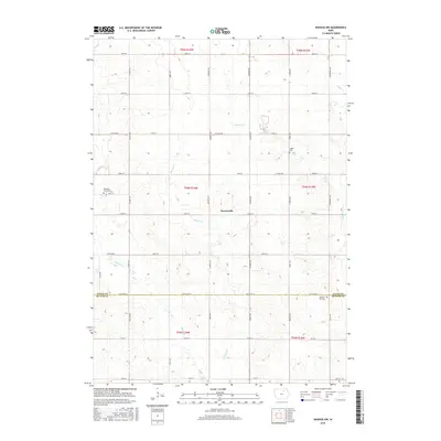
2015 Map of Nashua NW
USGS Topo · Published 2015About this map
Powersville sits at the heart of this North Central Iowa landscape, where the agricultural grid of Floyd County meets the northern border of Butler County. The terrain is defined by a network of small waterways including Beaver Cr, Schuyler Cr, and Flood Cr, which carve gentle patterns through the section-line roads. For those tracing family histories in the region, the map preserves the locations of three distinct rural burial grounds: Pleasant Grove Cem in the west, Ligget Cem near the center, and Pleasant Hill Cem just south of the Floyd Co Butler Co line. The survey captures a moment of modern rural infrastructure, showing a transition from county highways like Co Hwy T47 to the local avenues and streets that connect these farming communities.
Find a feature on this map
39 named features on this map. Tap any name to fly to it.
Don’t see what you’re looking for? This feature index may not catch every label — zoom into the map to look around manually.
Map Details
Editions of this 2015 Nashua NW Map
This is the sole edition of this map. No revisions or reprints were ever made.
Other maps of this area

1954 · Mason City
USGS Topo · 1:250,000

1954 · Waterloo
USGS Topo · 1:250,000

1955 · Waterloo
USGS Topo · 1:250,000

1957 · Mason City
USGS Topo · 1:250,000

1958 · Mason City
USGS Topo · 1:250,000

1971 · Plainfield
USGS Topo · 1:24,000

1971 · Charles City
USGS Topo · 1:24,000

1971 · Nashua NW
USGS Topo · 1:24,000

1971 · Clarksville
USGS Topo · 1:24,000

1971 · Bassett
USGS Topo · 1:24,000