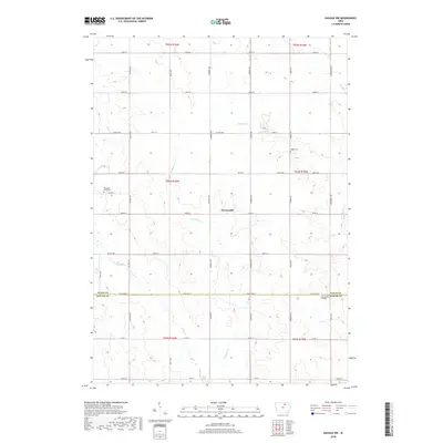
2018 Map of Nashua NW
USGS Topo · Published 2018About this map
Powersville sits at the intersection of 290th ST and Rampart Ave, serving as a central point in this agricultural landscape along the border of Floyd and Butler counties. The terrain is defined by a series of south-flowing waterways, including Schuyler Cr and Flood Cr, which dictate the placement of local roads and farmsteads. This 2018 survey reveals a remarkably consistent section-line grid system, typical of Iowa's rural development, occasionally interrupted by the winding paths of Beaver Cr and Peters Cr. For those researching local family histories, the map identifies several key burial sites, such as Ligget Cem in the northeast and Pleasant Grove Cem further west. These markers, along with Pleasant Hill Cem near the southern boundary, provide essential geographic context for the area's rural heritage and early settlement patterns.
Find a feature on this map
39 named features on this map. Tap any name to fly to it.
Don’t see what you’re looking for? This feature index may not catch every label — zoom into the map to look around manually.
Map Details
Editions of this 2018 Nashua NW Map
This is the sole edition of this map. No revisions or reprints were ever made.
Other maps of this area

1954 · Mason City
USGS Topo · 1:250,000

1954 · Waterloo
USGS Topo · 1:250,000

1955 · Waterloo
USGS Topo · 1:250,000

1957 · Mason City
USGS Topo · 1:250,000

1958 · Mason City
USGS Topo · 1:250,000

1971 · Plainfield
USGS Topo · 1:24,000

1971 · Charles City
USGS Topo · 1:24,000

1971 · Nashua NW
USGS Topo · 1:24,000

1971 · Clarksville
USGS Topo · 1:24,000

1971 · Bassett
USGS Topo · 1:24,000