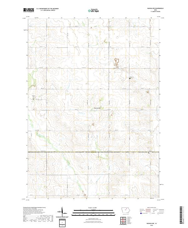
2022 Map of Nashua NW
USGS Topo · Published 2022About this map
Powersville sits at the center of this rural landscape, marking a transition in the agricultural grid of northern Iowa during the early 21st century. The map documents the borderlands of Floyd and Butler counties, where the township lines of T95N and T94N meet. This area is defined by its drainage patterns, with Flood Creek and Schuyler Creek carving subtle paths through the sections. For those researching local history, the placement of Liggett Cemetery and Pleasant Grove Cemetery provides critical anchors for family genealogy in a region where the primary infrastructure consists of named gravel and paved routes like County Highway B60 and Timber Avenue. The arrangement of these roads and the scattered farmstead sites reflect a century of settled prairie farming and the enduring importance of small rural burial grounds like Pleasant Hill Cemetery near the southern boundary.
Find a feature on this map
38 named features on this map. Tap any name to fly to it.
Don’t see what you’re looking for? This feature index may not catch every label — zoom into the map to look around manually.
Map Details
Editions of this 2022 Nashua NW Map
This is the sole edition of this map. No revisions or reprints were ever made.
Other maps of this area

1954 · Mason City
USGS Topo · 1:250,000

1954 · Waterloo
USGS Topo · 1:250,000

1955 · Waterloo
USGS Topo · 1:250,000

1957 · Mason City
USGS Topo · 1:250,000

1958 · Mason City
USGS Topo · 1:250,000

1971 · Plainfield
USGS Topo · 1:24,000

1971 · Charles City
USGS Topo · 1:24,000

1971 · Nashua NW
USGS Topo · 1:24,000

1971 · Clarksville
USGS Topo · 1:24,000

1971 · Bassett
USGS Topo · 1:24,000