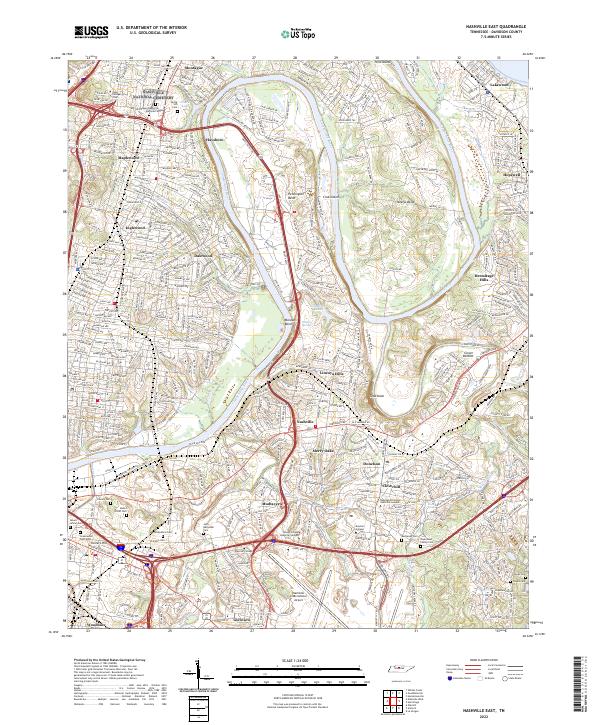
2022 Map of Nashville East
USGS Topo · Published 2022About this map
The Cumberland River carves a winding path through the heart of this landscape, defining the residential and industrial character of eastern Nashville. This terrain is characterized by its prominent river bends, including Pennington Bend and McLeans Bend, which created natural pockets for development like Lincoya Hills and Dalewood. The map reveals a dense concentration of historical burial grounds, from the sprawling Nashville National Cem to the family-oriented John Buchanan Cem and Bryantown Family Cem, offering a deep genealogical layer for researchers.
Find a feature on this map
50 named features on this map. Tap any name to fly to it.
Don’t see what you’re looking for? This feature index may not catch every label — zoom into the map to look around manually.
Map Details
Editions of this 2022 Nashville East Map
This is the sole edition of this map. No revisions or reprints were ever made.
Other maps of this area

1903 · Nashville
USGS Topo · 1:125,000

1931 · Ridgetop
USGS Topo · 1:62,500

1932 · Hermitage
USGS Topo · 1:62,500

1932 · Nashville
USGS Topo · 1:62,500

1935 · Ridgetop
USGS Topo · 1:62,500

1942 · Gallatin
USGS Topo · 1:100,000

1942 · Lebanon
USGS Topo · 1:100,000

1952 · Goodlettsville
USGS Topo · 1:24,000

1952 · Hendersonville
USGS Topo · 1:24,000

1952 · Hermitage
USGS Topo · 1:24,000