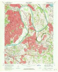
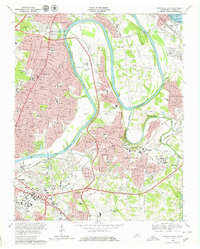
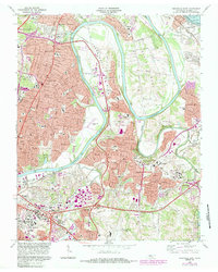
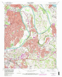
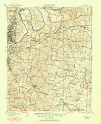
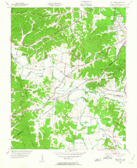
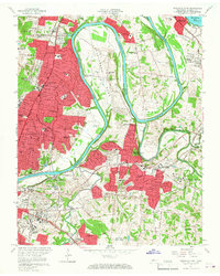
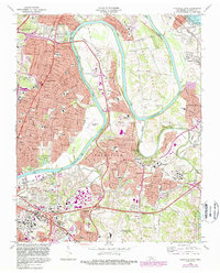
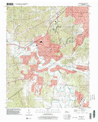
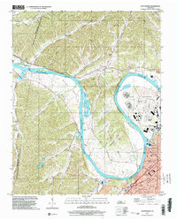
1968 Map of Nashville East
USGS Topo · Published 1971This historical map portrays the area of Nashville East in 1968, primarily covering Davidson County. Featuring a scale of 1:24000, this map provides a highly detailed snapshot of the terrain, roads, buildings, counties, and historical landmarks in the Nashville East region at the time. Published in 1971, it is one of 5 known editions of this map due to revisions or reprints.
Find a feature on this map
111 named features on this map. Tap any name to fly to it.
Don’t see what you’re looking for? This feature index may not catch every label — zoom into the map to look around manually.
Map Details
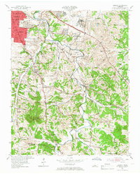
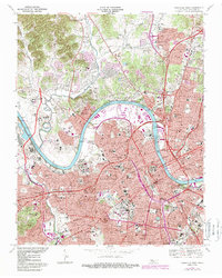
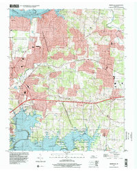
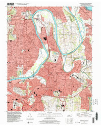
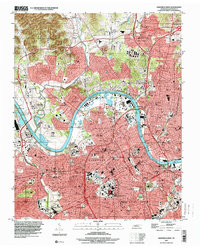
Editions of this 1968 Nashville East Map
5 editions found
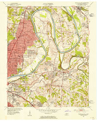
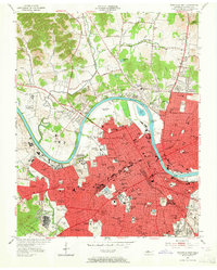
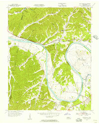
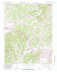
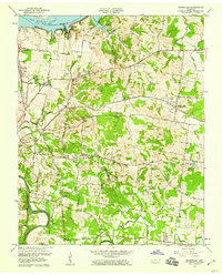
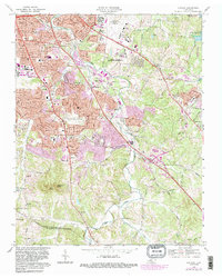
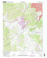
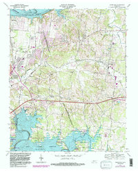
Historical Maps of Maplewood Through Time
23 maps found
1932 Hermitage
Davidson County, TN
1952 Antioch
Davidson County, TN

1952 Hermitage
Davidson County, TN
1952 Nashville East
Davidson County, TN
1952 Nashville West
Davidson County, TN
1955 Belleview
Davidson County, TN
1955 Scottsboro
Davidson County, TN
1955 Whites Creek
Davidson County, TN
1957 Hermitage
Davidson County, TN
1957 Nashville East
Davidson County, TN
1968 Antioch
Davidson County, TN
1968 Bellevue
Davidson County, TN
1968 Hermitage
Davidson County, TN
1968 Nashville East
Davidson County, TN
1968 Nashville West
Davidson County, TN
1968 Scottsboro
Davidson County, TN
1994 Whites Creek
Davidson County, TN
1997 Bellevue
Davidson County, TN
1997 Hermitage
Davidson County, TN
1997 Nashville East
Davidson County, TN
1997 Nashville West
Davidson County, TN
1997 Scottsboro
Davidson County, TN
1999 Antioch
Davidson County, TN