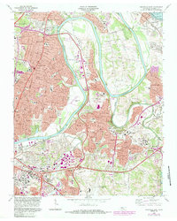
1968 Map of Nashville East
USGS Topo · Published 1984About this map
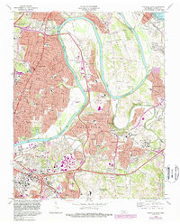
The Cumberland River carves a winding path through this 1968 study of East Nashville, defining the deep loops of Neelys Bend and Pennington Bend. This era represents a period of significant suburban expansion, where established neighborhoods like Inglewood and Donelson meet newer infrastructure such as the Briley Parkway. The map captures a high density of civic and educational landmarks, including the campus of McGavock High Sch and the Tennessee Preparatory Sch, alongside the aviation history of the Cornelia Fort Airpark and the Nashville Metropolitan Airport.
Find a feature on this map
105 named features on this map. Tap any name to fly to it.
Don’t see what you’re looking for? This feature index may not catch every label — zoom into the map to look around manually.
Map Details
Editions of this 1968 Nashville East Map
5 editions found
Other maps of this area

1903 · Nashville
USGS Topo · 1:125,000

1931 · Ridgetop
USGS Topo · 1:62,500

1932 · Hermitage
USGS Topo · 1:62,500

1932 · Nashville
USGS Topo · 1:62,500

1935 · Ridgetop
USGS Topo · 1:62,500

1942 · Gallatin
USGS Topo · 1:100,000

1942 · Lebanon
USGS Topo · 1:100,000

1952 · Goodlettsville
USGS Topo · 1:24,000

1952 · Hendersonville
USGS Topo · 1:24,000

1952 · Hermitage
USGS Topo · 1:24,000