
1973 Map of Nashville West
USGS Topo · Published 1975About this map
The county seat of Nashville anchors the eastern edge of this Berrien County survey, situated at the intersection of a regional transportation network. The landscape transitions from the established streets of the town, featuring City Hall and a College, into the swampy lowlands of the Withlacoochee River and New River. The boundary between Berrien and Cook counties follows the shifting, swampy course of these waterways, marked as an Indefinite Boundary through the dense wetland vegetation. Small rural settlements like Chaserville and Massee are connected by an Old Railroad Grade that speaks to the area's timber and transit history. Away from the river bottoms, the terrain is dotted with numerous small bodies of water such as Goose Pond and Parrish Pond, alongside several rural houses of worship including Forest Hill Ch and Beulah Ch, which served as the centers of these outlying agricultural communities.
Find a feature on this map
49 named features on this map. Tap any name to fly to it.
Don’t see what you’re looking for? This feature index may not catch every label — zoom into the map to look around manually.
Map Details
Editions of this 1973 Nashville West Map
This is the sole edition of this map. No revisions or reprints were ever made.
Other maps of this area

1953 · Waycross
USGS Topo · 1:250,000

1958 · Waycross
USGS Topo · 1:250,000

1972 · Tenmile Bay
USGS Topo · 1:24,000

1973 · Adel
USGS Topo · 1:24,000

1973 · New Lois
USGS Topo · 1:24,000

1973 · Sapps Lake
USGS Topo · 1:24,000

1973 · Cecil
USGS Topo · 1:24,000

1973 · Lenox
USGS Topo · 1:24,000
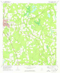
1978 · Nashville East
USGS Topo · 1:24,000
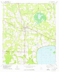
1978 · Ray City
USGS Topo · 1:24,000