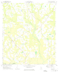
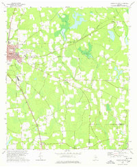
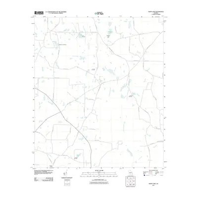
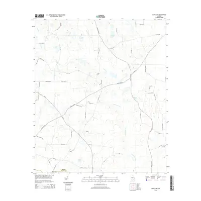
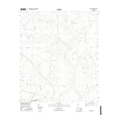
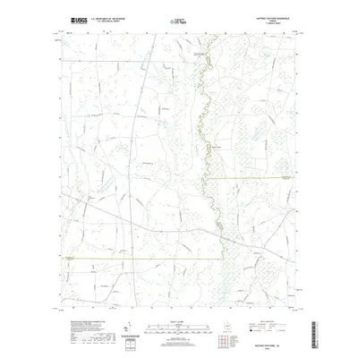
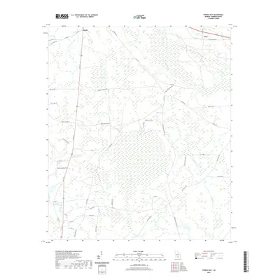
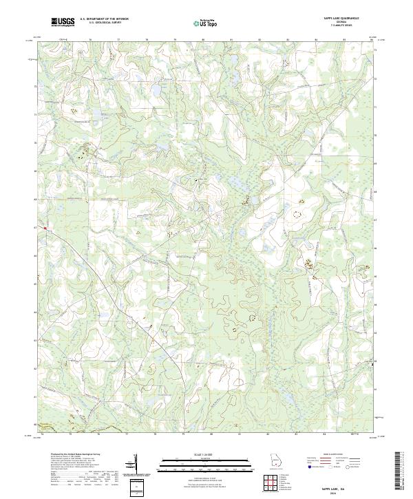
1973 Map of Sapps Lake
USGS Topo · Published 1975About this map
Withlacoochee River and the New River define the watery landscape of this South Georgia territory along the border of Berrien and Cook counties. The early 1970s terrain is marked by a network of rural churches and family-named landmarks that served as the social backbone of the agricultural community. Several small settlements and school sites are documented here, including the West Berrien School and the community of Vickers.
Find a feature on this map
24 named features on this map. Tap any name to fly to it.
Don’t see what you’re looking for? This feature index may not catch every label — zoom into the map to look around manually.
Map Details
Editions of this 1973 Sapps Lake Map
This is the sole edition of this map. No revisions or reprints were ever made.
Historical Maps of Cook County Through Time
30 maps found
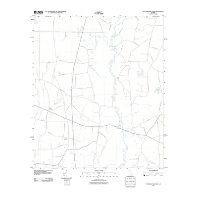
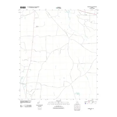
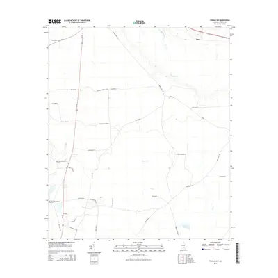
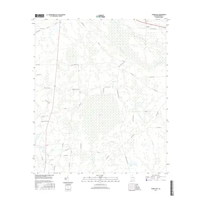
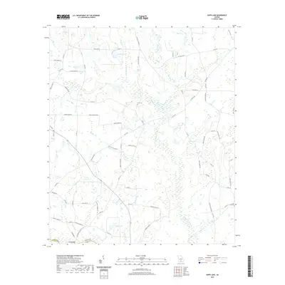
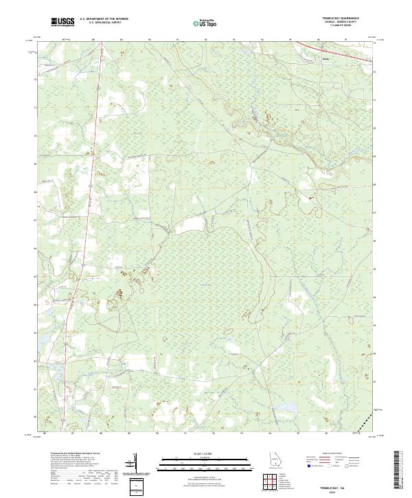
1972 Tenmile Bay
Berrien County, GA
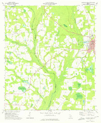
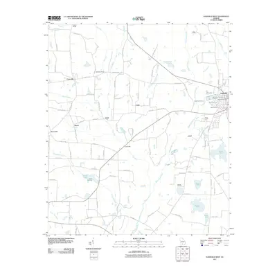
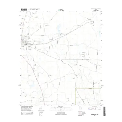
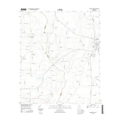
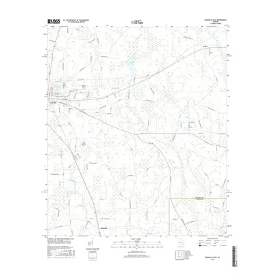
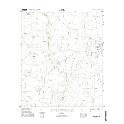
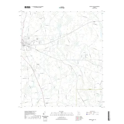
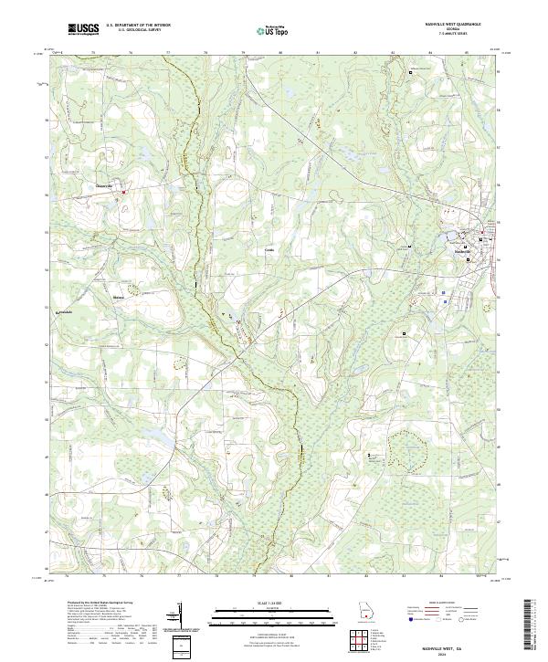
1973 Nashville West
Berrien County, GA
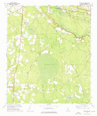
1973 Sapps Lake
Berrien County, GA
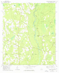
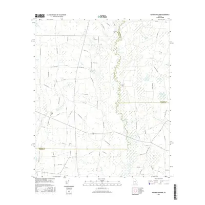
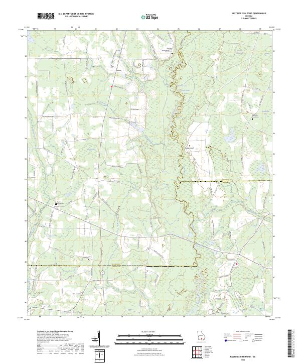
1977 Hastings Fish Pond
Berrien County, GA
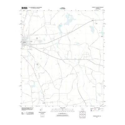
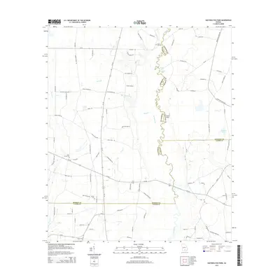
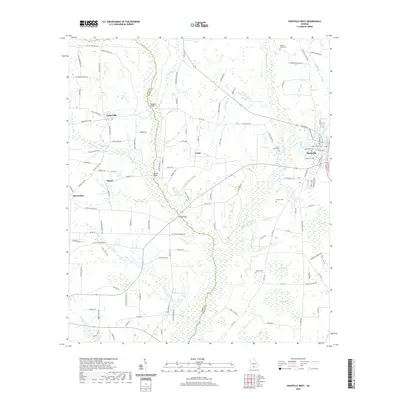
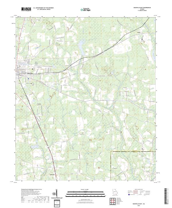
1978 Nashville East
Berrien County, GA
2011 Hastings Fish Pond
Berrien County, GA
2011 Nashville East
Berrien County, GA
2011 Nashville West
Berrien County, GA
2011 Sapps Lake
Berrien County, GA
2011 Tenmile Bay
Berrien County, GA
2014 Hastings Fish Pond
Berrien County, GA
2014 Nashville East
Berrien County, GA
2014 Nashville West
Berrien County, GA
2014 Sapps Lake
Berrien County, GA
2014 Tenmile Bay
Berrien County, GA
2017 Hastings Fish Pond
Berrien County, GA
2017 Nashville East
Berrien County, GA
2017 Nashville West
Berrien County, GA
2017 Sapps Lake
Berrien County, GA
2017 Tenmile Bay
Berrien County, GA
2020 Hastings Fish Pond
Berrien County, GA
2020 Nashville East
Berrien County, GA
2020 Nashville West
Berrien County, GA
2020 Sapps Lake
Berrien County, GA
2020 Tenmile Bay
Berrien County, GA
2024 Hastings Fish Pond
Berrien County, GA
2024 Nashville East
Berrien County, GA
2024 Nashville West
Berrien County, GA
2024 Sapps Lake
Berrien County, GA
2024 Tenmile Bay
Berrien County, GA