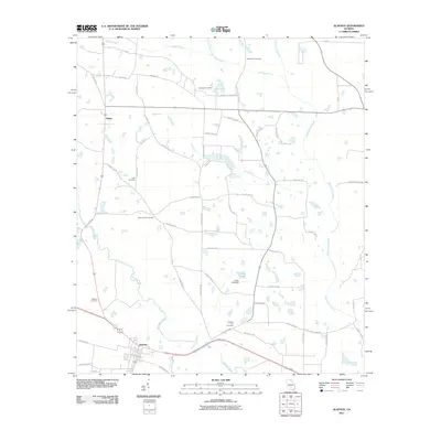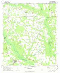
1977 Map of Alapaha
USGS Topo · Published 1977About this map
The town of Alapaha serves as the focal point of this South Georgia landscape, situated at the junction of the Seaboard Coast Line railroad and the Alapaha River. This 1970s survey captures a rural environment defined by its dispersed religious communities and agricultural drainage. A significant number of country churches, such as Glory Ch, Bethlehem Ch, and Little Flock Ch, are scattered across the terrain, indicating the importance of these small centers for the surrounding family farms.
Find a feature on this map
25 named features on this map. Tap any name to fly to it.
Don’t see what you’re looking for? This feature index may not catch every label — zoom into the map to look around manually.
Map Details
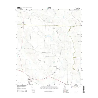
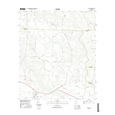
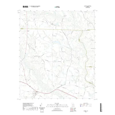
Editions of this 1977 Alapaha Map
This is the sole edition of this map. No revisions or reprints were ever made.
Historical Maps of Alapaha Through Time
6 maps found