
1972 Map of Ambrose
USGS Topo · Published 1977About this map
The town of Ambrose serves as a local hub along the Seaboard Coast Line railroad in the early 1970s, where the rural Georgia landscape is defined by its numerous small congregational centers. This survey reveals a dense network of country churches, including New Salem Ch, Mt Ebell Ch, and Eva Chapel, which likely anchored the social life of surrounding farming families. To the northwest, the settlement of Wray sits near the Irwin and Coffee County line, further connected by the rail corridor.
Find a feature on this map
33 named features on this map. Tap any name to fly to it.
Don’t see what you’re looking for? This feature index may not catch every label — zoom into the map to look around manually.
Map Details
Editions of this 1972 Ambrose Map
This is the sole edition of this map. No revisions or reprints were ever made.
Other maps of this area

1953 · Waycross
USGS Topo · 1:250,000

1958 · Waycross
USGS Topo · 1:250,000

1972 · Broxton North
USGS Topo · 1:24,000

1972 · Fitzgerald East
USGS Topo · 1:24,000

1972 · Lax
USGS Topo · 1:24,000

1972 · Ocilla East
USGS Topo · 1:24,000

1972 · Mora
USGS Topo · 1:24,000

1977 · Osierfield
USGS Topo · 1:24,000
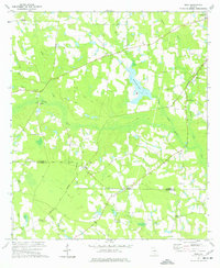
1977 · Mora
USGS Topo · 1:24,000
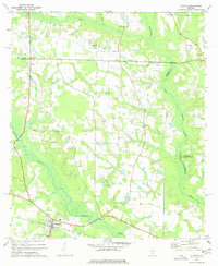
1977 · Alapaha
USGS Topo · 1:24,000