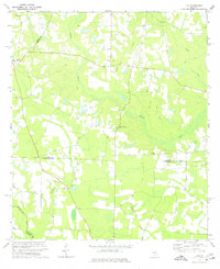
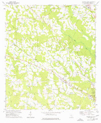
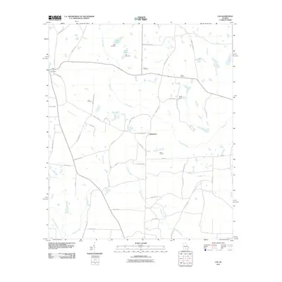
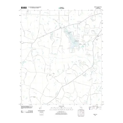
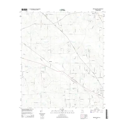
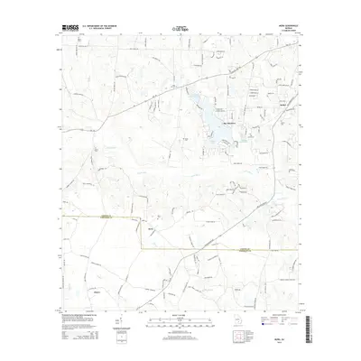
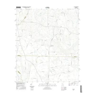
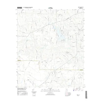
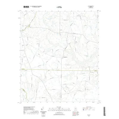
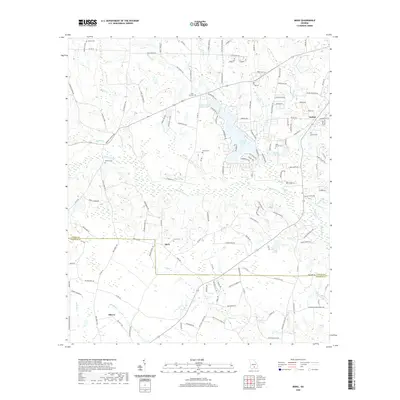
1972 Map of Lax
USGS Topo · Published 1977About this map
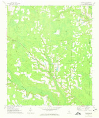
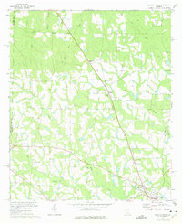
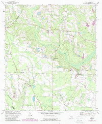
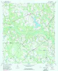
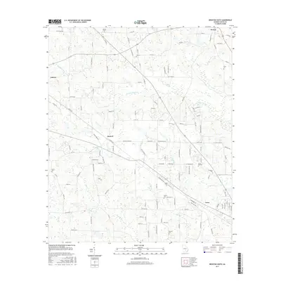
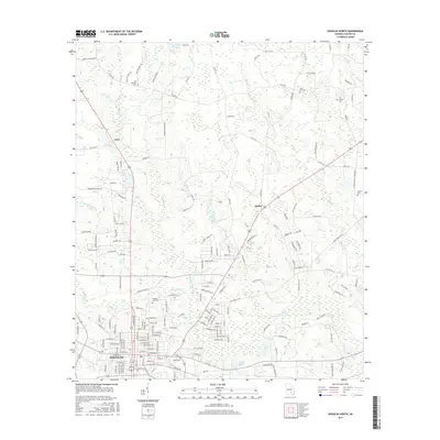
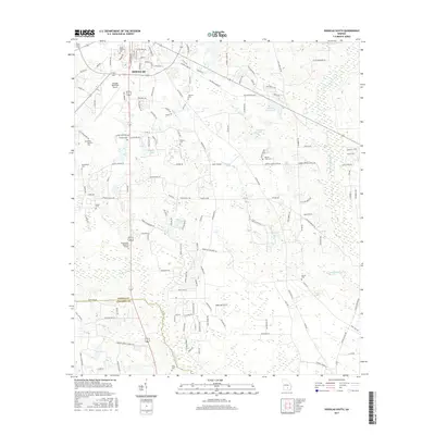
The Satilla River and Willacoochee River define the agricultural and swampy landscape of this South Georgia region during the early 1970s. Small rural settlements like Lax and Bridgetown anchor the area, while a network of country churches serves as the primary social landmarks for local residents. Notable spiritual centers include St Johns Ch, Beulah Ch, and Vickers Chapel, several of which are accompanied by small community cemeteries.
Find a feature on this map
18 named features on this map. Tap any name to fly to it.
Don’t see what you’re looking for? This feature index may not catch every label — zoom into the map to look around manually.
Map Details
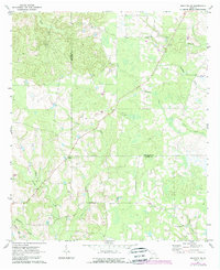
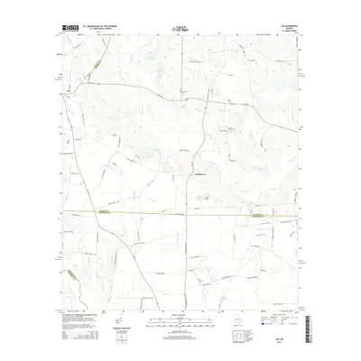
Editions of this 1972 Lax Map
2 editions found
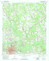
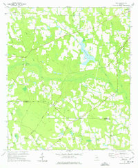
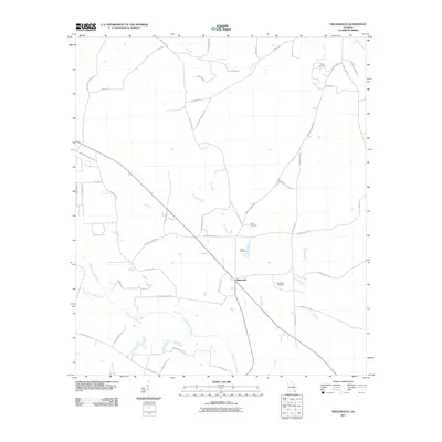
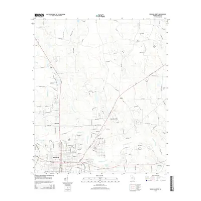
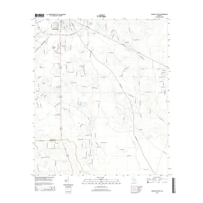
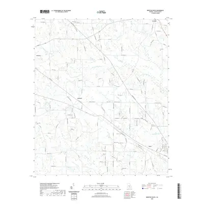
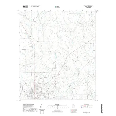
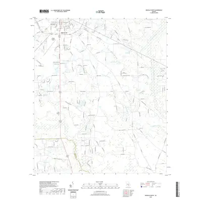
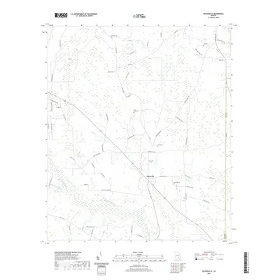
Historical Maps of Bridgetown Through Time
49 maps found
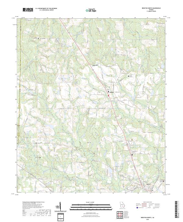
1971 Broxton NE
Coffee County, GA
1971 Douglas North
Coffee County, GA
1971 Douglas South
Coffee County, GA
1971 Wilsonville
Coffee County, GA
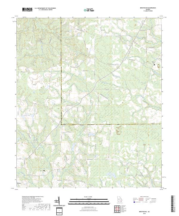
1972 Broxton North
Coffee County, GA
1972 Lax
Coffee County, GA
1972 Mora
Coffee County, GA
1977 Broxton South
Coffee County, GA
1977 Mora
Coffee County, GA
2011 Broxton NE
Coffee County, GA
2011 Broxton North
Coffee County, GA
2011 Broxton South
Coffee County, GA
2011 Douglas North
Coffee County, GA
2011 Douglas South
Coffee County, GA
2011 Lax
Coffee County, GA
2011 Mora
Coffee County, GA
2011 Wilsonville
Coffee County, GA
2014 Broxton NE
Coffee County, GA
2014 Broxton North
Coffee County, GA
2014 Broxton South
Coffee County, GA
2014 Douglas North
Coffee County, GA
2014 Douglas South
Coffee County, GA
2014 Lax
Coffee County, GA
2014 Mora
Coffee County, GA
2014 Wilsonville
Coffee County, GA
2017 Broxton NE
Coffee County, GA
2017 Broxton North
Coffee County, GA
2017 Broxton South
Coffee County, GA
2017 Douglas North
Coffee County, GA
2017 Douglas South
Coffee County, GA
2017 Lax
Coffee County, GA
2017 Mora
Coffee County, GA
2017 Wilsonville
Coffee County, GA
2020 Broxton NE
Coffee County, GA
2020 Broxton North
Coffee County, GA
2020 Broxton South
Coffee County, GA
2020 Douglas North
Coffee County, GA
2020 Douglas South
Coffee County, GA
2020 Lax
Coffee County, GA
2020 Mora
Coffee County, GA
2020 Wilsonville
Coffee County, GA
2024 Broxton NE
Coffee County, GA
2024 Broxton North
Coffee County, GA
2024 Broxton South
Coffee County, GA
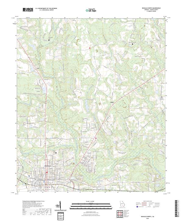
2024 Douglas North
Coffee County, GA
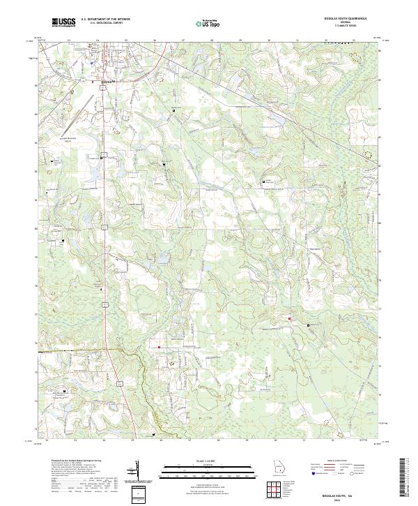
2024 Douglas South
Coffee County, GA
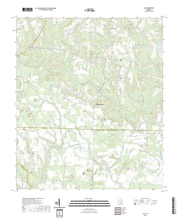
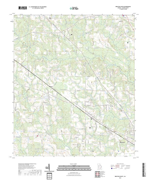
2024 Lax
Coffee County, GA
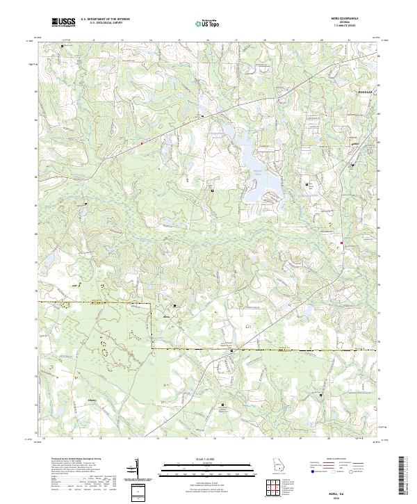
2024 Mora
Coffee County, GA
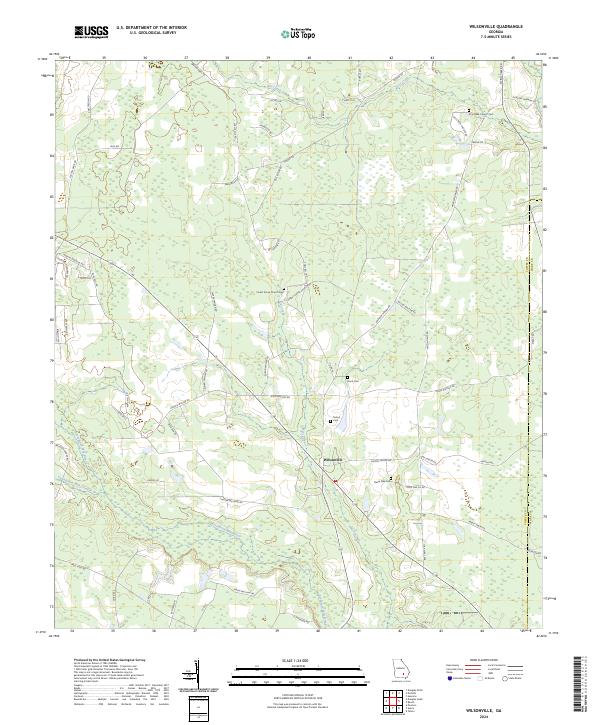
2024 Wilsonville
Coffee County, GA