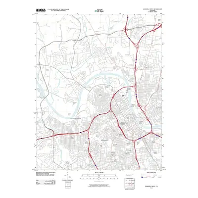
2010 Map of Nashville West
USGS Topo · Published 2010About this map
Cumberland River curves through this 2010 landscape, shaping the geography from the deep bend at Hardins Bend to the industrial and civic heart of the city. The map captures a dense educational and institutional corridor, anchored by the expansive grounds of Vanderbatim University and Fisk University. Evidence of the city's growth and historical layers is visible in the numerous cemeteries and public spaces, including the Hills of Calvary Cemetery and the significant Potters Field near the riverbanks.
Find a feature on this map
73 named features on this map. Tap any name to fly to it.
Don’t see what you’re looking for? This feature index may not catch every label — zoom into the map to look around manually.
Map Details
Editions of this 2010 Nashville West Map
This is the sole edition of this map. No revisions or reprints were ever made.
Other maps of this area

1903 · Nashville
USGS Topo · 1:125,000

1931 · Ridgetop
USGS Topo · 1:62,500

1932 · Hermitage
USGS Topo · 1:62,500

1932 · Nashville
USGS Topo · 1:62,500

1935 · Ridgetop
USGS Topo · 1:62,500

1942 · Gallatin
USGS Topo · 1:100,000

1942 · Lebanon
USGS Topo · 1:100,000

1952 · Goodlettsville
USGS Topo · 1:24,000

1952 · Nashville West
USGS Topo · 1:24,000

1952 · Nashville East
USGS Topo · 1:24,000